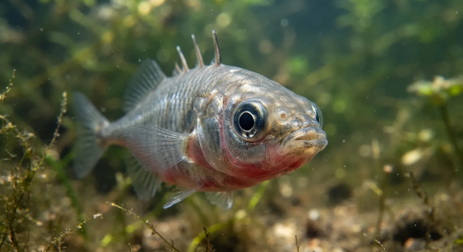
 Least Concern
Three-spined Stickleback
Gasterosteus aculeatus
Near Thingvellir (Þingvellir)
A fissure opened in the rift valley between the North American and Eurasian plates, filled with meltwater from the Langjökull glacier that has percolated for decades through porous lava. That natural filtration is what produces visibility comfortably in excess of 80-100 m. The fissure opened in the earthquakes of 1789.
Depth
7–18 m
Recommended level
Open Water (drysuit required)
Average visibility
100 m
Þingvellir National Park; access is regulated and diving is only permitted with authorised operators under strict environmental rules
World Heritage Site (Þingvellir National Park, inscribed in 2004 as a CULTURAL property as the seat of the Alþingi; its geological value is not the criterion for inscription)
The water comes not from the lake but from the glacier, and takes between 30 and 100 years to arrive. The fissure widens by about 2 cm a year and changes with every earthquake: rockfalls create new tunnels and profiles. One cliché needs qualifying: guides point out that the exact boundary between the plates is diffuse, not a clean line you can touch with both hands.
Sources consulted: Þingvellir National Park (web oficial) · DIVE.IS · adventures.is · discover-iceland.com · silfrafissure.com
1 park within 30 km.
What is there to see on land, near this site?
3 km away
Which other dive sites are like this one?
Same country: Iceland
Similar depth
Similar depth
Based on what we already know about this dive site.
Water temperature
3 °C
Current
None
Access
Shore
Best season
All year round
Recommended certification
Drysuit Diver
Approx. price
130 USD / dive
Similar depth
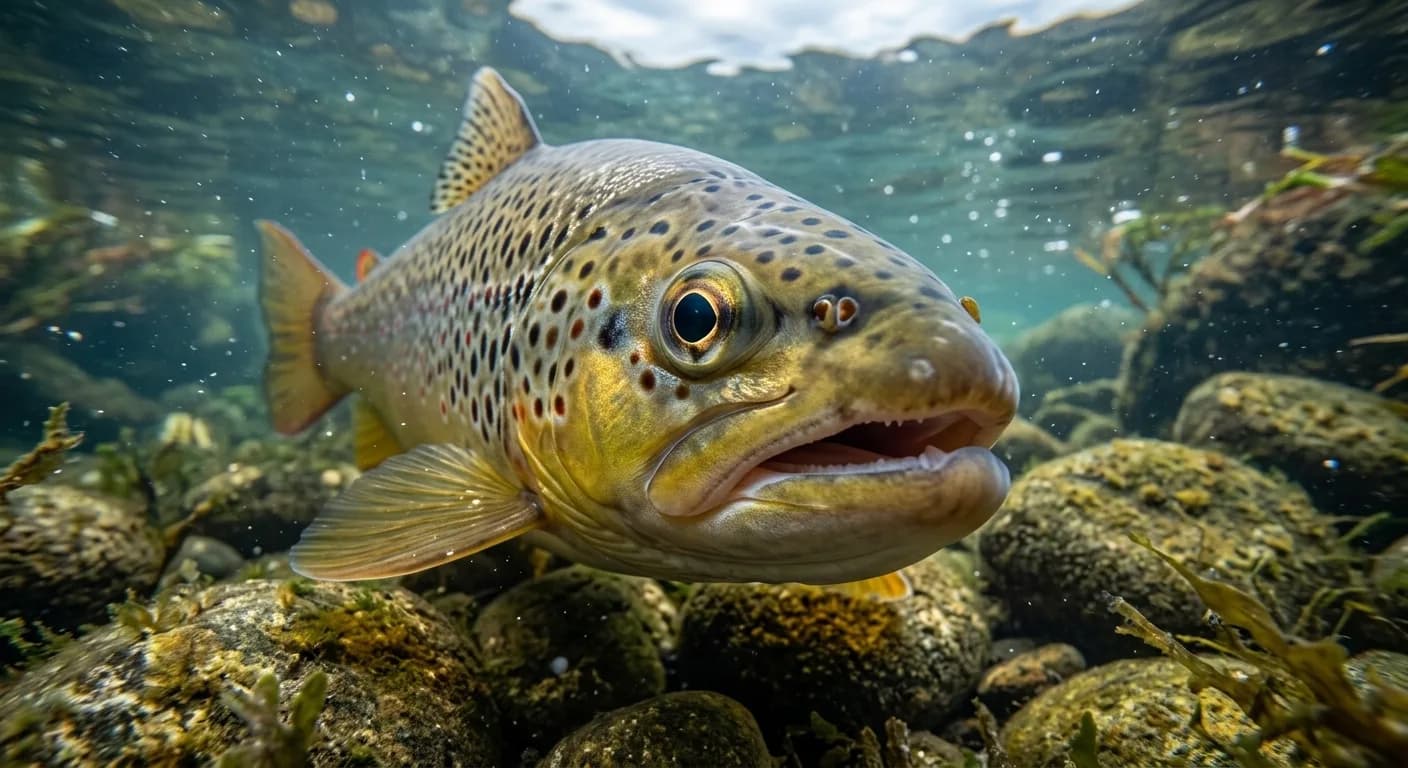
 Iceland
 Ecuador
 United States