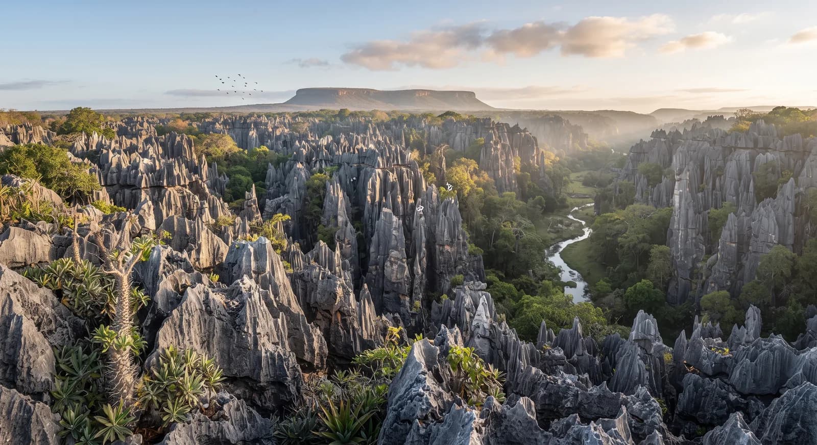
Tsingy de Bemaraha
Madagascar · Madagascar and the Indian OceanA stone forest of limestone needles honed razor-sharp by water over millions of years
Area
1,520 km²
Declared in
1997
Region
Madagascar and the Indian Ocean
Climate
Tropical, Árido / desértico
Best time
April to November
Highlight
A stone forest of limestone needles honed razor-sharp by water over millions of years
Declared in 1997 and a UNESCO World Heritage Site since 1990 — before it was even formally made a national park — Tsingy de Bemaraha protects an extraordinary stone forest, formed as rainwater dissolved limestone over millions of years into a labyrinth of rock needles as sharp as knives, some of them over 100 metres high. The name tsingy comes from a Malagasy word describing the sound of walking barefoot on the pointed rock, or else meaning where one cannot walk barefoot. The ground is so broken and so sharp that the park's own lemurs have worked out particular routes through the trees to avoid crossing the keenest formations directly.
Location
See on the interactive map8 species documented in Tsingy de Bemaraha
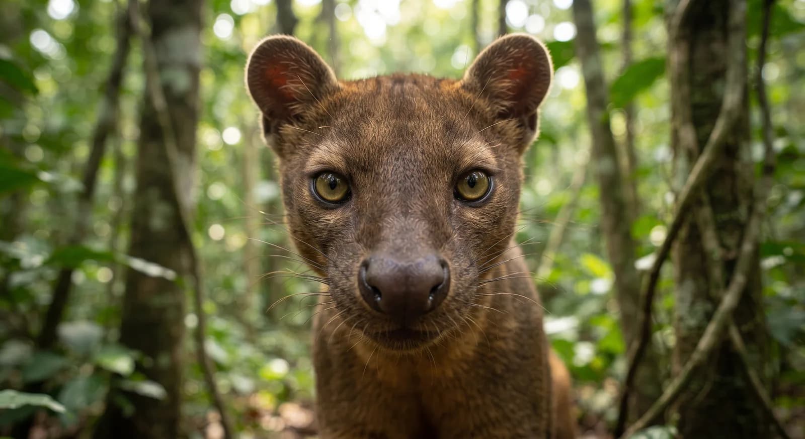
At conservation risk:Fosa,Aye-aye,Lémur de cola anillada,Sifaka de Verreaux
Endemic to Madagascar:Fosa,Aye-aye
 Vulnerable
Fosa
Cryptoprocta ferox
Aye-aye
Daubentonia madagascariensis
Cucaracha silbadora de Madagascar
Gromphadorhina portentosa
Lémur de cola anillada
Lemur catta
Lémur pardo común
Eulemur fulvus
Lémur ratón gris
Microcebus murinus
Sifaka de Verreaux
Propithecus verreauxi
Tenrec espinoso grande
Setifer setosus
Flora and ecosystems
Ecosystems found in Madagascar, where Tsingy de Bemaraha lies.
Similar parks
Which other parks are like this one?
Marojejy
Madagascar
Silky Sifaka · Mongoose Lemur
Abril a noviembre
View parkMismo país: Madagascar
Ranomafana
Madagascar
Golden bamboo lemur (discovered in 1986) · rainforest sifaka
Abril a noviembre
View parkMismo país: Madagascar
Keep exploring
Based on what we already know about Tsingy de Bemaraha.
Your rating
How many stars would you give Tsingy de Bemaraha?
Comments
Share your experience visiting Tsingy de Bemaraha, or a tip for other travellers.
Be the first to comment.