National Park
Cerro Azul Meámbar
Honduras
 Honduras
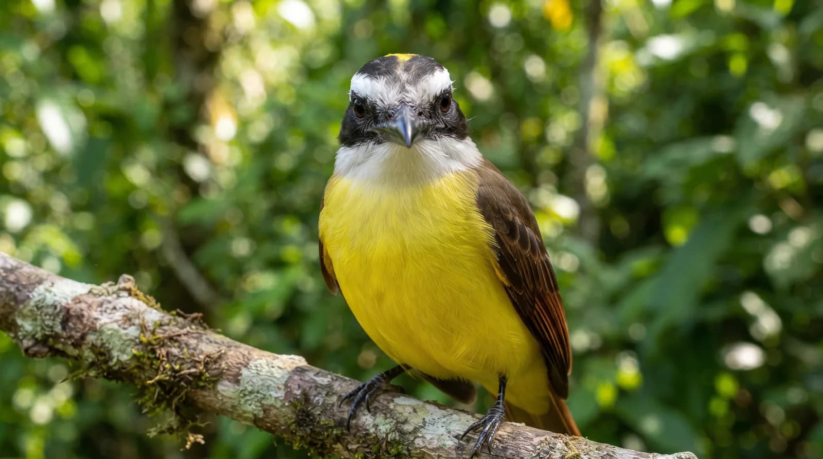
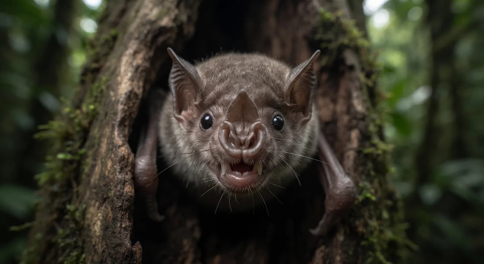
Resplendent quetzal · jaguarundi
See parkThe highest mountain in Honduras, with the country's best-preserved cloud forest and a living Lenca culture.
Area
266 km²
Designated in
1987
Region
Central America
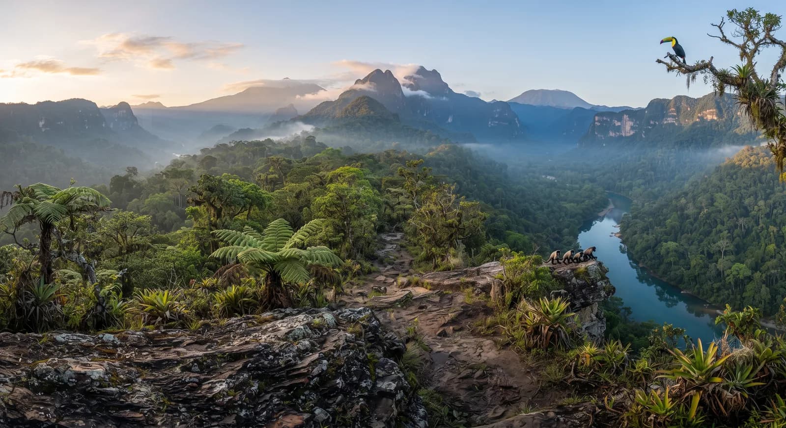
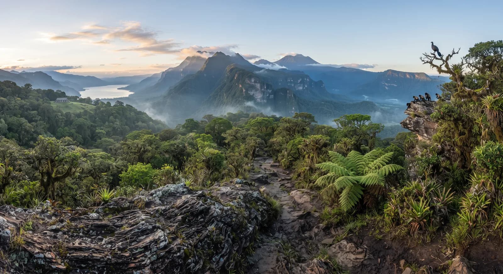
The Celaque massif with cloud forest and Cerro Las Minas
Montaña de Celaque National Park was established in 1987 in western Honduras, across the departments of Lempira, Ocotepeque and Copán, and protects some 266 km². Its summit, Cerro Las Minas, reaches 2,870 metres and is the highest point in the country.
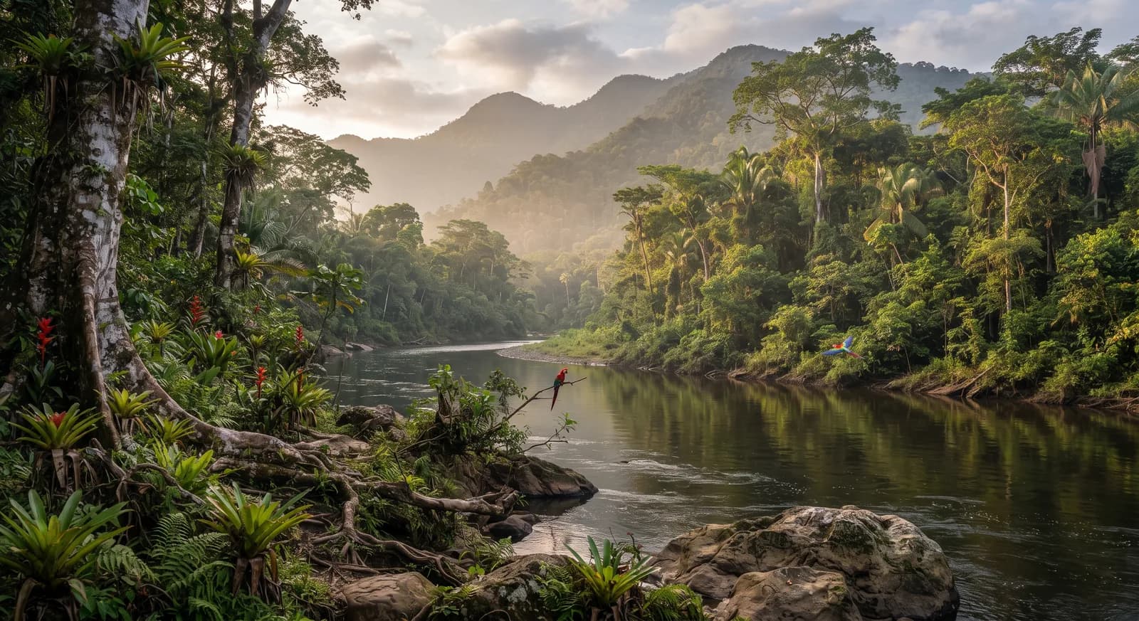
The name means "box of water" in the Lenca language, and describes its function precisely: more than a dozen rivers rise from the massif and supply tens of thousands of people in western Honduras, and that hydrological dependence is the main argument for its protection. The slopes are cut by rock walls several hundred metres high that make the massif an isolated block.
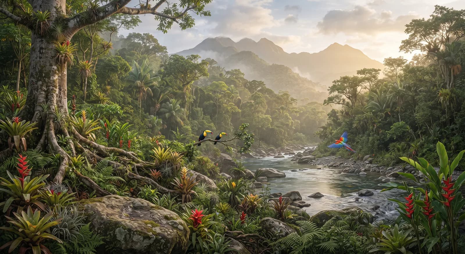
Above 2,000 metres extends a cloud forest of oak, pine and sweetgum covered in epiphytes, regarded as the best preserved in Honduras, with quetzal, horned guan and endemic amphibians. The surrounding territory is the heartland of the Lenca people, the country's largest indigenous group, whose relationship with the mountain and whose rights over water resources have been the subject of conflict with hydroelectric projects in the region, a matter of great sensitivity after the murder of the Lenca activist Berta Cáceres in 2016.
3 dive sites within 300 km are also shown.
Ecosystems found in Honduras, where Celaque lies.
Where can I dive near here?
259 km away
264 km away
283 km away
Which other parks are like this one?
Same country: Honduras
Same country: Honduras
Same country: Honduras
Same country: Honduras
Based on what we already know about this park.
Climate
Tropical, Temperate, Mountain