 Endangered
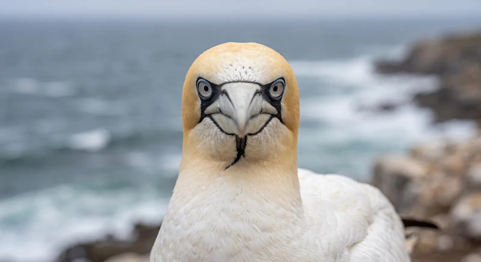
Cape Gannet
Morus capensis
A park created in 2010 to give unbroken protection to the whole Namibian coast, from the Kunene to the Orange.
Area
7,800 km²
Designated in
2010
Region
Southern Africa
Lichen fields and coastal wetlands of the central Namib
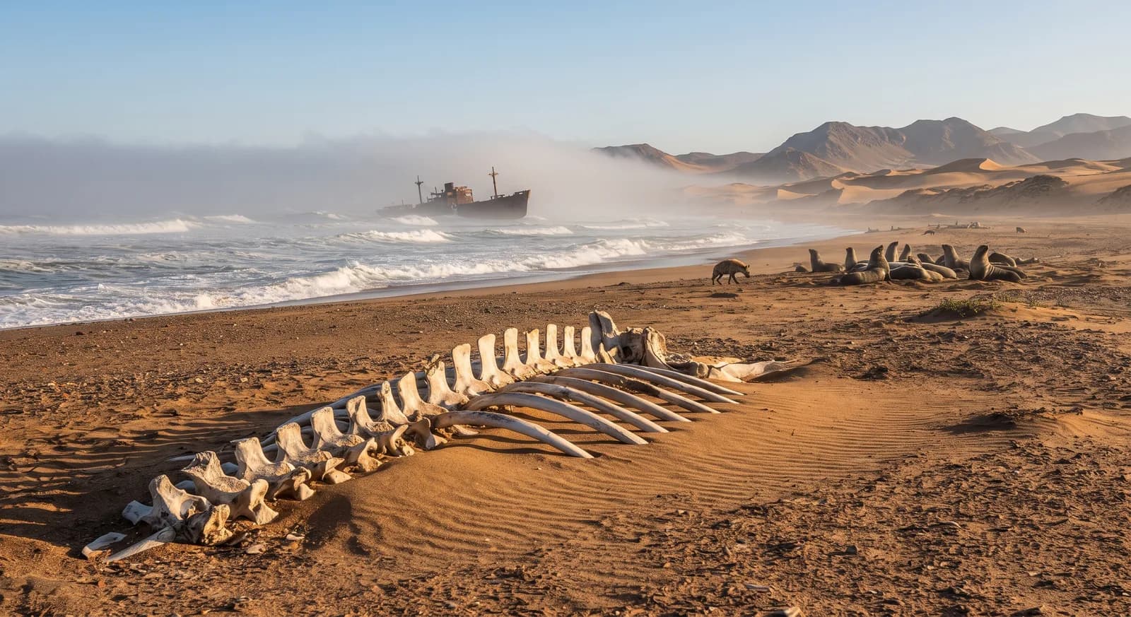
Dorob National Park was created in 2010 on the central coast of Namibia, between the Ugab River and Sandwich Harbour, and protects some 7,800 km². Its declaration had a structural purpose: to link Skeleton Coast National Park to the north with the Namib-Naukluft to the south, so that the whole Namibian coast, from the Kunene River to the Orange, would be under continuous protection. Namibia is one of the few countries in the world with its entire coastline protected.
The name means "dry land" in the Nama language. The landscape combines gravel plains, dune fields, ephemeral riverbeds and coastal wetlands, all under the influence of the Atlantic fog. Its lichen fields are exceptional: enormous expanses of gravel covered by lichen communities that lie dormant for months and visibly revive with the moisture of the fog, and that are extremely vulnerable to vehicles, since the tracks take decades to fade.
The wetlands of Walvis Bay and Sandwich Harbour, within its scope, are of international importance for waterbirds, with concentrations of flamingos and migratory waders, and the park holds the main breeding area of the Damara tern, endemic to the region. Its main management challenge is reconciling conservation with the intense recreational use of off-road vehicles and quad bikes around Swakopmund and Walvis Bay.
Threatened:,
Ecosystems found in Namibia, where Dorob lies.
Which other parks are like this one?
Same country: Namibia
Same country: Namibia
Same country: Namibia
Same country: Namibia
Based on what we already know about this park.
Climate
Arid / desert
Best season
May to October
 Namibia