Sierra de Grazalema
Spain · Southern EuropeSpain's first biosphere reserve, a refuge for the Spanish fir and the wettest place on the peninsula.
Area
534 km²
Declared in
1984
Region
Southern Europe
Climate
Árido / desértico, Templado, Mediterráneo, Montañoso
Best time
All year round
Highlight
Relict Spanish fir woods on the Sierra del Pinar
The Sierra de Grazalema straddles the provinces of Cádiz and Málaga, at the western end of the Baetic ranges, and spreads its approximately 53,400 hectares across fourteen municipalities. Its heavily karstified limestone relief is cut by gorges and shafts and dotted with the white villages that have made it famous. It is also the point on the Iberian peninsula that records the highest rainfall: the mountain barrier intercepts the humid fronts arriving from the Atlantic and unloads on it amounts of rain exceptional for Mediterranean latitudes.
That moisture regime explains its botanical treasure. The Spanish fir (Abies pinsapo) is a relict fir from the Tertiary, endemic to the Iberian peninsula and northern Morocco, whose presence is reduced to a few strongholds — the Sierra del Pinar de Grazalema, Sierra de las Nieves and Sierra Bermeja — always on the dampest shaded slopes between 1,200 and 1,600 m. The Grazalema fir forest covers some 8,100 hectares today and its populations are expanding as pressure on the woodland eases, although its relict character and its dependence on very particular conditions of humidity and temperature make it especially vulnerable to climate change.
It was precisely the fir forest that prompted its protection. In 1977 a group of scientists led by Emilio Fernández Galiano, professor of Botany at the University of Seville, promoted its designation as a Biosphere Reserve; on 22 January of that year UNESCO recognised it alongside Ordesa as the first in Spain. When in 1984 the Andalusian regional government took over conservation powers, the first biologists in the Andalusian administration built on that basis to create Andalusia's first natural park. Grazalema thus served as the laboratory of the inhabited protected area model, in which entry and economic activity are permitted, as against the national park model then in force. Today it supports a notable community of cliff-nesting raptors, with one of the largest griffon vulture colonies in Andalusia, and a local economy resting on nature tourism, farming and traditional crafts.
Location
See on the interactive map1 dive site within 300 km is also shown.
205 species documented in Sierra de Grazalema
At conservation risk:Capricornio del roble,Lagartija carpetana,Lince ibérico,Murciélago de cueva (murciélago de alas largas),Perdiz roja,Sapo de espuelas ibérico,Sapo partero bético,Víbora hocicuda
Endemic to Spain:Lince ibérico
Abeja albañil
Osmia bicornis
Abeja carpintera violeta
Xylocopa violacea
Abeja del sudor europea
Lasioglossum malachurum
Abeja minera fulva
Andrena fulva
Abejaruco europeo
Merops apiaster
Abejorro común
Melolontha melolontha
Abejorro terrestre
Bombus terrestris
Abubilla
Upupa epops
Águila calzada
Hieraaetus pennatus
Águila perdicera
Aquila fasciata
Aguilucho cenizo
Circus pygargus
 Least Concern
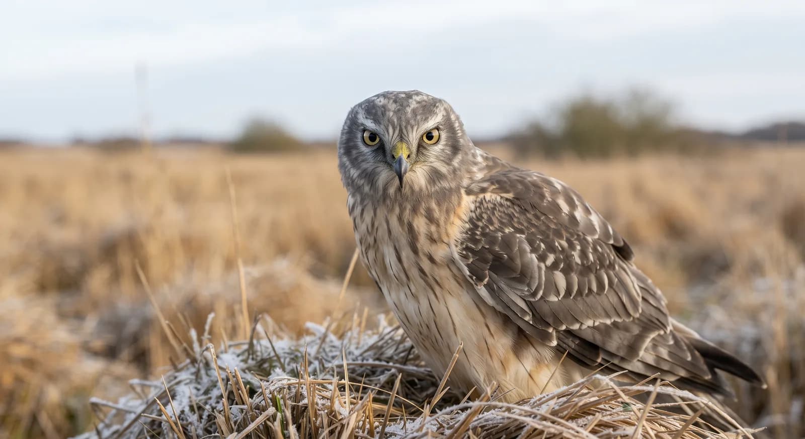
Aguilucho pálido
Circus cyaneus
Flora and ecosystems
Ecosystems found in Spain, where Sierra de Grazalema lies.
Experiences in this park
Nearby dive sites
Where can I dive near here?
Alboran Island
231 km away
Similar parks
Which other parks are like this one?
Keep exploring
Based on what we already know about Sierra de Grazalema.
Your rating
How many stars would you give Sierra de Grazalema?
Comments
Share your experience visiting Sierra de Grazalema, or a tip for other travellers.
Be the first to comment.