Sierra de las Minas
Guatemala · Central America (Baja Verapaz/Izabal)The largest stretch of protected cloud forest in Central America; the water source for over 60% of the population of eastern Guatemala
Area
2,359 km²
Declared in
1990
Region
Central America (Baja Verapaz/Izabal)
Climate
Tropical, Templado, Montañoso
Highlight
The largest stretch of protected cloud forest in Central America; the water source for over 60% of the population of eastern Guatemala
Made a UNESCO Biosphere Reserve in 1990, Sierra de las Minas protects the largest continuous stretch of cloud forest in the whole of Central America and serves as a critical water source for more than 60% of the population of eastern Guatemala — an ecosystem service that has been central to the arguments for creating and holding on to its protection against logging and agricultural pressure over recent decades.
Location
See on the interactive map1 dive site within 300 km is also shown.
56 species documented in Sierra de las Minas
At conservation risk:Mono araña de Geoffroy,Pavón cornudo
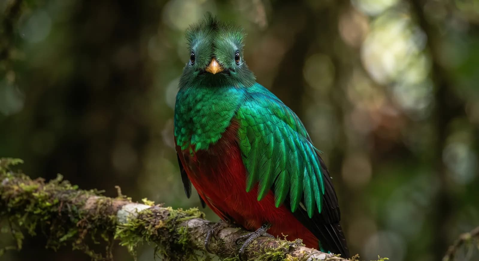 Near Threatened
Quetzal resplandeciente
Pharomachrus mocinno
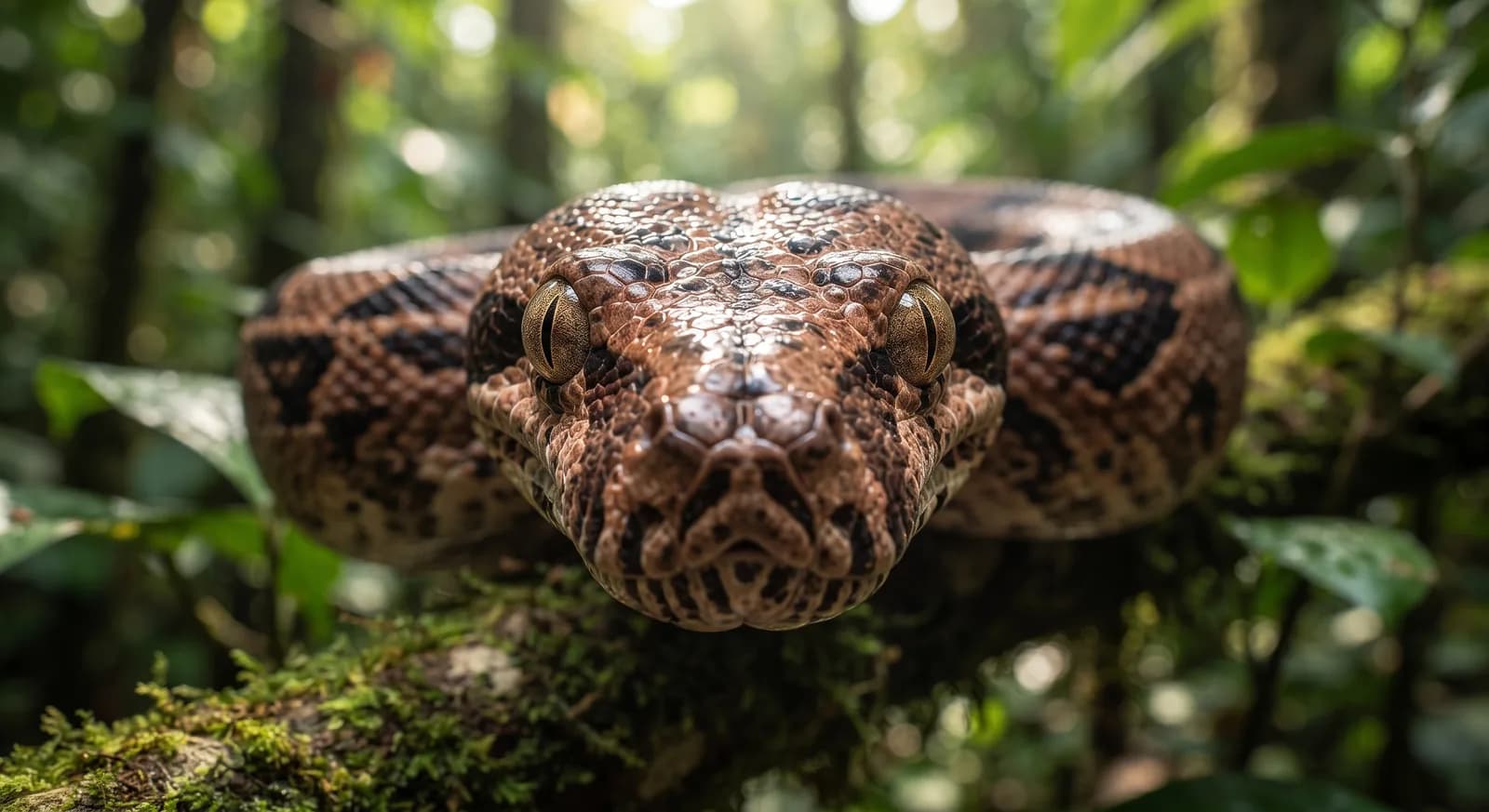 Not Evaluated
Boa constrictora
Boa constrictor
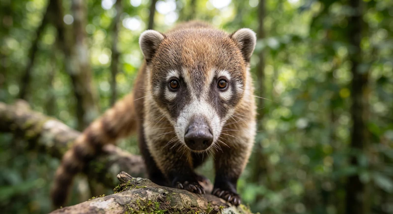 Least Concern
Coatí de nariz blanca
Nasua narica
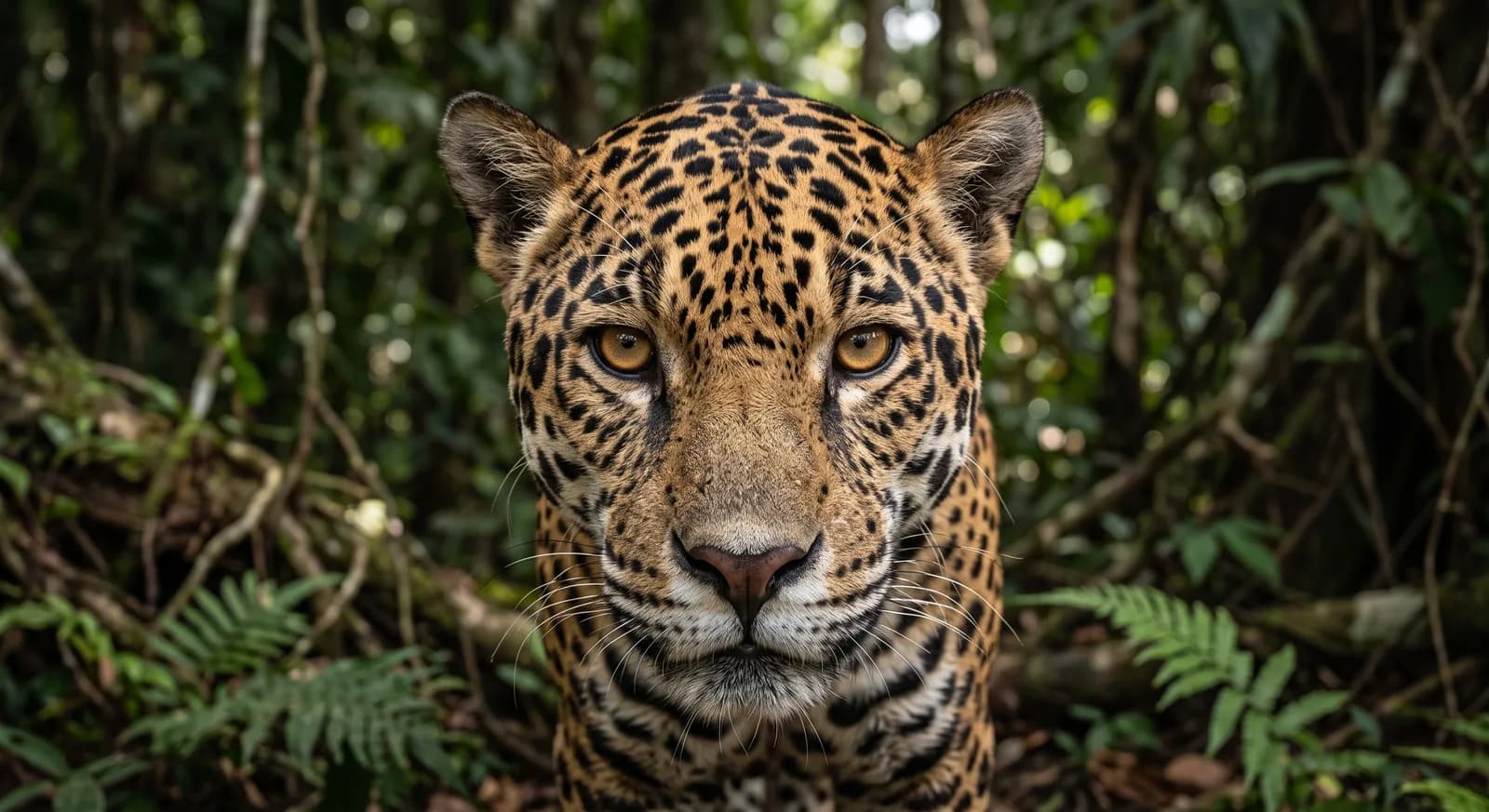 Near Threatened
Jaguar
Panthera onca
 Endangered
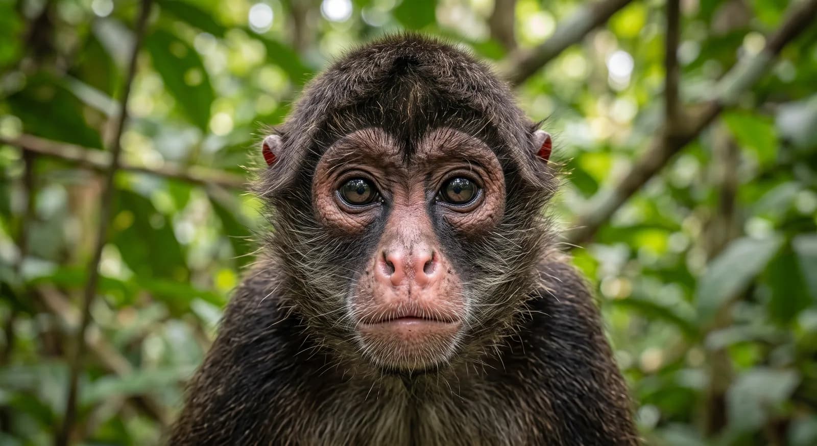
Mono araña de Geoffroy
Ateles geoffroyi
 Least Concern
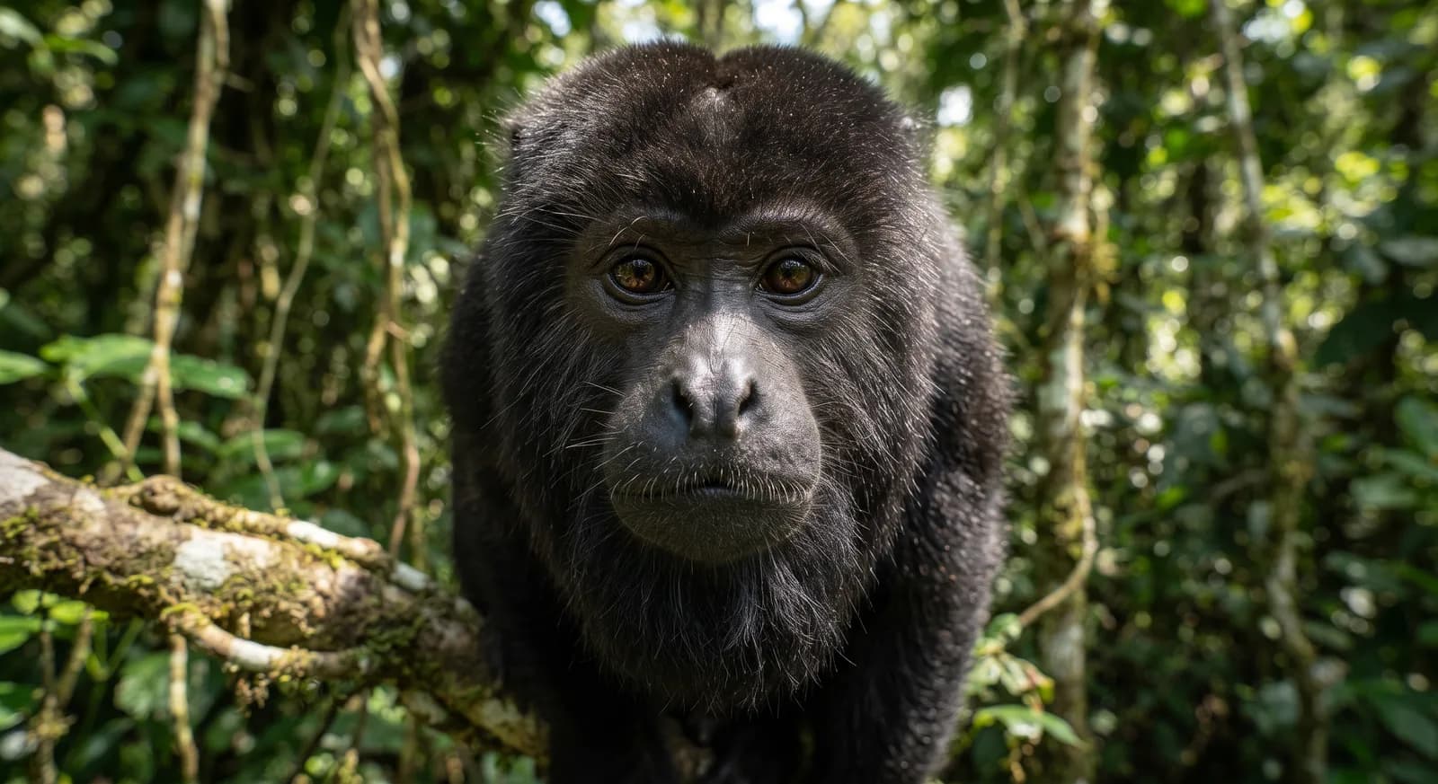
Mono aullador negro
Alouatta caraya
 Least Concern
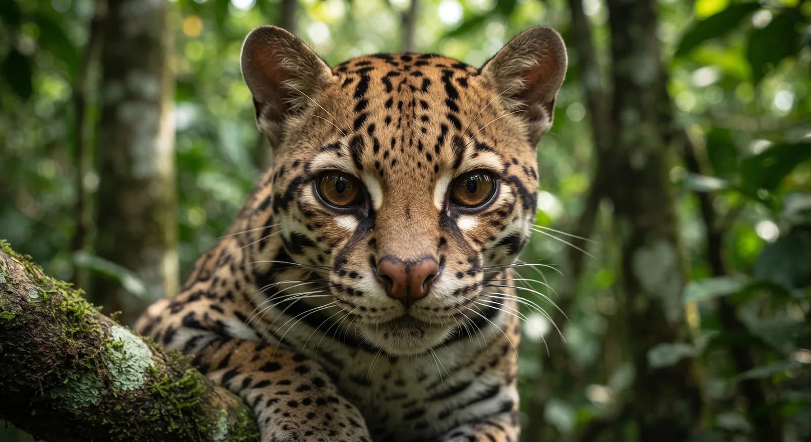
Ocelote
Leopardus pardalis
 Least Concern
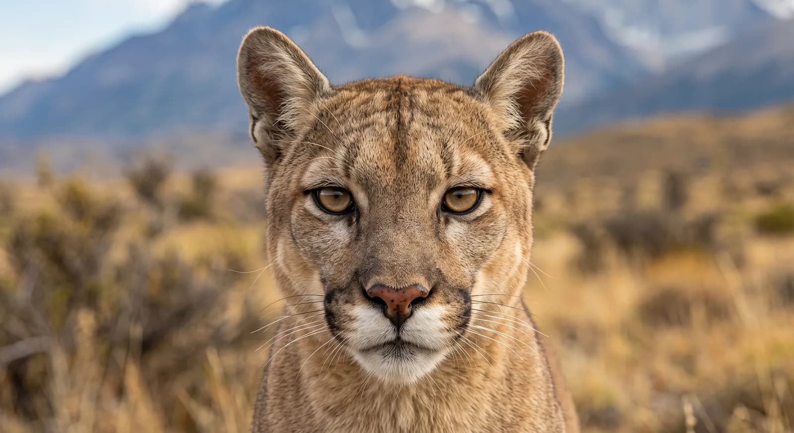
Puma
Puma concolor
 Near Threatened
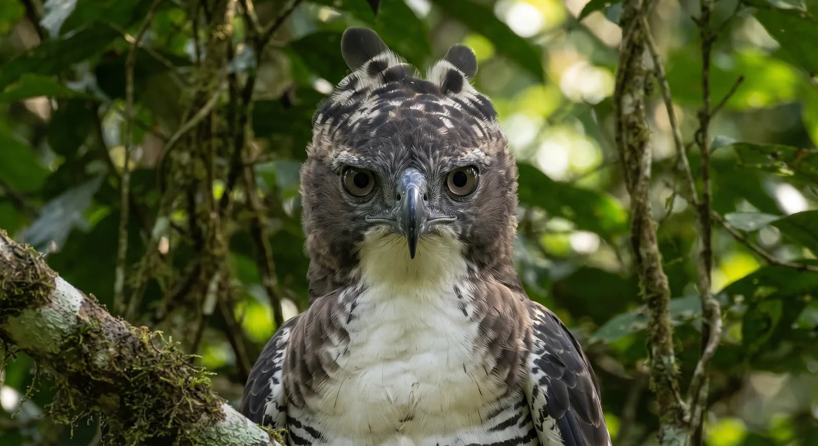
Águila crestada
Morphnus guianensis
Pavón cornudo
Oreophasis derbianus
Abeja sin aguijón
Melipona beecheii
Águila azor adornada
Spizaetus ornatus
Flora and ecosystems
Ecosystems found in Guatemala, where Sierra de las Minas lies.
Experiences in this park
Nearby dive sites
Where can I dive near here?
Glover's Reef
264 km away
Similar parks
Which other parks are like this one?
Maya Biosphere Reserve
Guatemala
Jaguar · Baird's Tapir
View parkMismo país: Guatemala
Laguna del Tigre
Guatemala
Morelet's Crocodile · Scarlet Macaw
View parkMismo país: Guatemala
Tikal
Guatemala
Guatemalan howler monkey · keel-billed toucan
View parkMismo país: Guatemala
Semuc Champey
Guatemala
Resplendent Quetzal · Toucan
View parkMismo país: Guatemala
Keep exploring
Based on what we already know about Sierra de las Minas.
Your rating
How many stars would you give Sierra de las Minas?
Comments
Share your experience visiting Sierra de las Minas, or a tip for other travellers.
Be the first to comment.