Shiretoko
Japan · East Asia (Hokkaido)One of the highest densities of Hokkaido brown bear in the world; its Ainu name means the end of the earth
Area
386 km²
Declared in
1964
Region
East Asia (Hokkaido)
Climate
Tropical, Templado, Polar / frío
Best time
March to May
Highlight
One of the highest densities of Hokkaido brown bear in the world; its Ainu name means the end of the earth
Declared in 1964, its name comes from the language of the Ainu, the indigenous people of Hokkaido, and means the end of the earth, describing its remote position on the north-eastern tip of the island. It has been a UNESCO World Heritage Site since 2005 for representing an exceptional interaction between marine and land ecosystems: the sea ice that arrives each winter from the Sea of Okhotsk fertilises the coastal waters as it melts, supporting a food chain that runs from plankton up to orcas, and along the way one of the highest densities of Hokkaido brown bear in the world, with an estimated 600-plus on the peninsula.
Location
See on the interactive map26 species documented in Shiretoko
At conservation risk:Orca,Búho pescador de Blakiston,Águila de Steller,Ballena franca del Pacífico Norte,Oso marino septentrional
Endemic to Japan:Macaco japonés
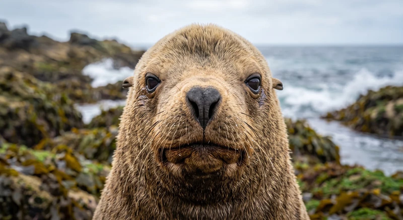 Near Threatened
León marino de Steller
Eumetopias jubatus
Marsopa de Dall
Phocoenoides dalli
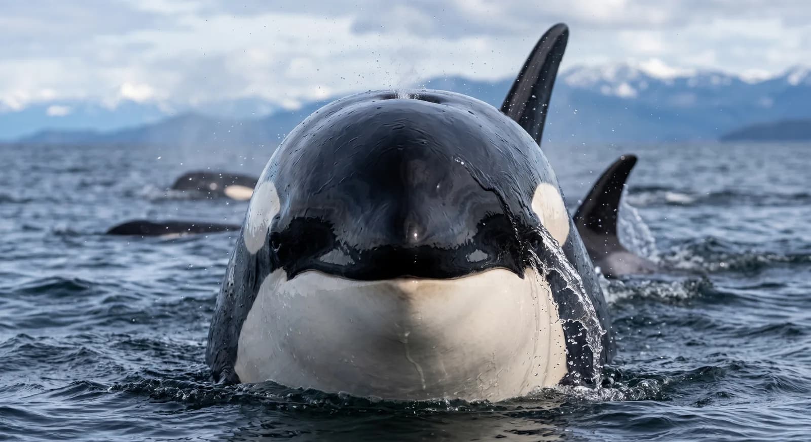 Endangered
Orca
Orcinus orca
Búho pescador de Blakiston
Bubo blakistoni
Foca manchada
Phoca largha
Águila de Steller
Haliaeetus pelagicus
Anteojitos japonés
Zosterops japonicus
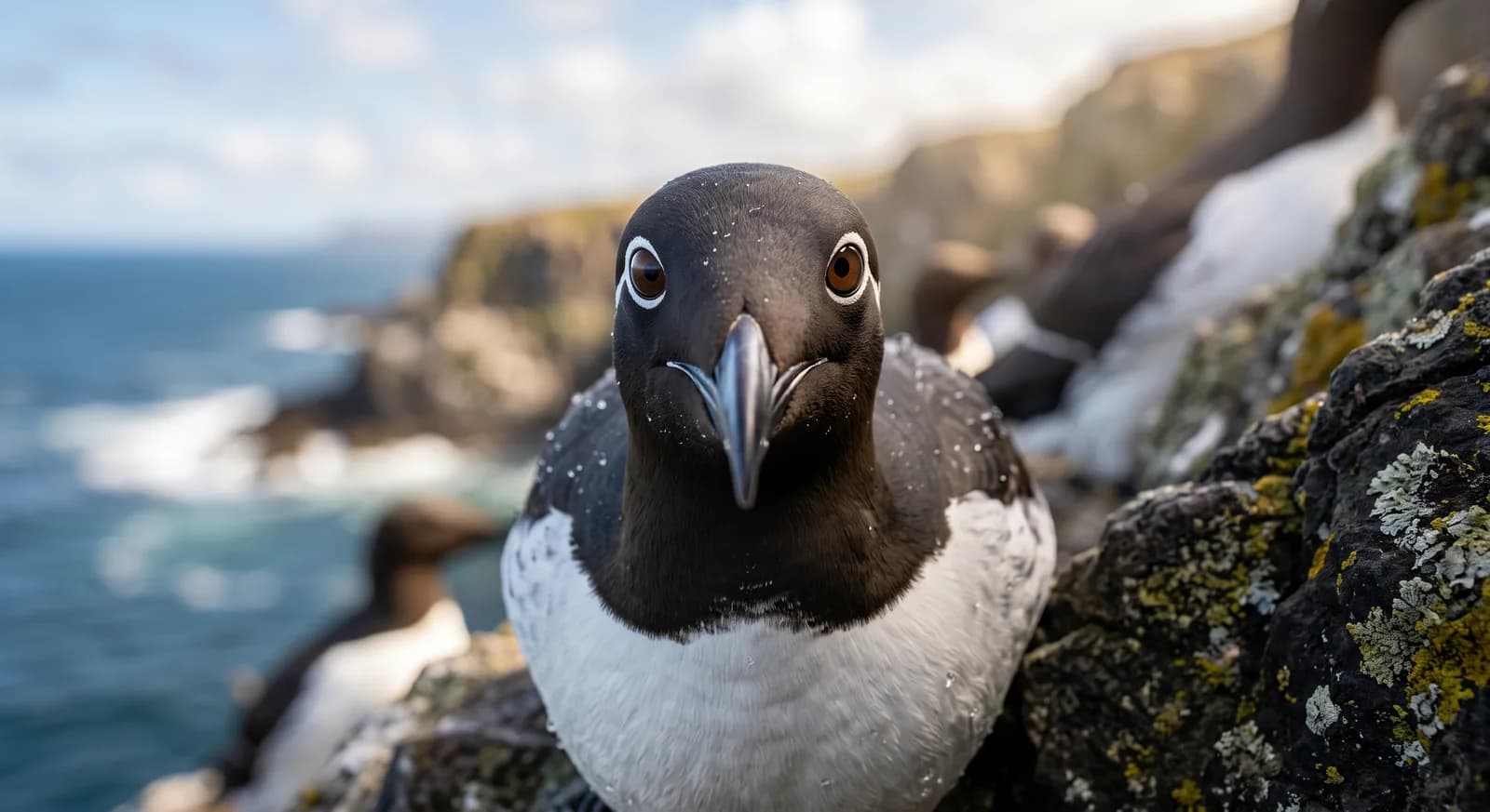 Least Concern
Arao común
Uria aalge
Ballena franca del Pacífico Norte
Eubalaena japonica
Cangrejo cabeza de rana
Ranina ranina
Cangrejo real de Kamchatka
Paralithodes camtschaticus
Frailecillo coliforcado (frailecillo cornudo)
Fratercula corniculata
Flora and ecosystems
Ecosystems found in Japan, where Shiretoko lies.
Experiences in this park
Similar parks
Which other parks are like this one?
Keep exploring
Based on what we already know about Shiretoko.
Your rating
How many stars would you give Shiretoko?
Comments
Share your experience visiting Shiretoko, or a tip for other travellers.
Be the first to comment.