 Least Concern
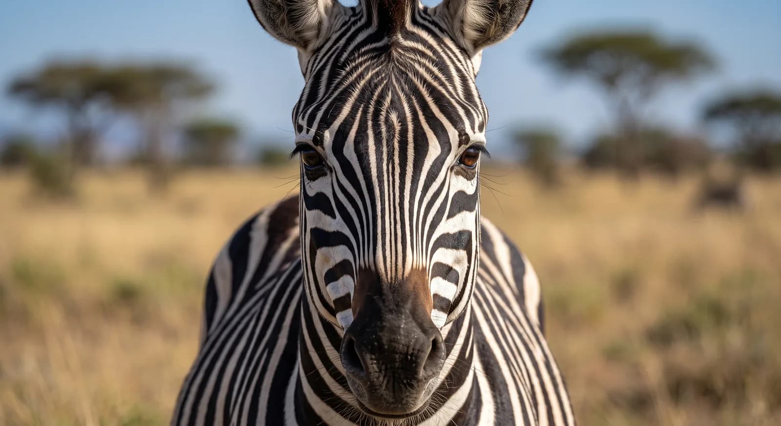
Plains Zebra
Equus quagga
Africa's second-highest peak, a stratovolcano with glaciers on the equator and a unique afroalpine flora.
Area
715 km²
Designated in
1949
Region
East Africa
Glaciated equatorial stratovolcano with afroalpine vegetation
Mount Kenya National Park was established in 1949 around Africa's second highest peak, an extinct stratovolcano of 5,199 metres lying practically on the equator. UNESCO inscribed it on the World Heritage List in 1997, and the property was extended in 2013 to include the Lewa conservancy and the Ngare Ndare forest.
The mountain is what remains of the original volcanic edifice, far higher, dismantled by erosion until it laid bare the rock plugs that today form the summits of Batian and Nelion. Despite its equatorial position it still holds glaciers, though in very rapid retreat: they have lost most of their area over the last century and projections point to their disappearance within the coming decades.
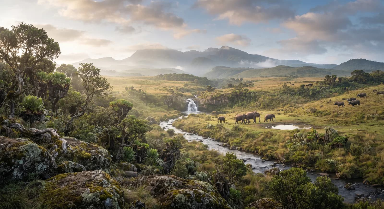
The succession of vegetation belts is its most notable feature: montane forest and bamboo on the slopes, tree heath above that, and in the Afroalpine belt the formations of giant groundsels and giant lobelias, plants of extraordinary shape adapted to withstand frost every night and intense heat every day all year round. The mountain is sacred to the Kikuyu, who hold it to be the dwelling place of Ngai, and its forests are home to elephant, buffalo, colobus and a rich birdlife. The area forms part of the network of biosphere reserves under the MAB programme.
Ecosystems found in Kenya, where Mount Kenya lies.
What is worth looking out for this month in Kenya?
Now is a good time: Great Migration: the Mara River crossing (July to October)
Now is a good time: Great Migration: the Mara River crossing (July to October)
Which other parks are like this one?
Same country: Kenya
Same country: Kenya
Same country: Kenya
Same country: Kenya
Based on what we already know about this park.
Climate
Tropical, Arid / desert, Temperate, Mountain
Best season
June to October, for the Great Migration
Threatened:
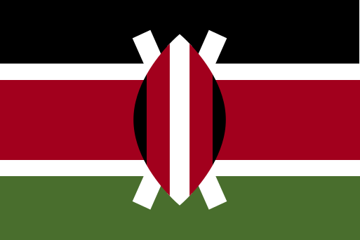 Kenya