A cirque eight kilometres across with 1,500 metres of relief, carpeted in Canary pine at the heart of La Palma.
Area
47 km²
Declared in
1954
Region
Southern Europe
Climate
Árido / desértico, Templado, Mediterráneo, Montañoso
Best time
All year round
Highlight
A giant landslide cirque and Canary pine forest
Caldera de Taburiente National Park occupies the interior of the island of La Palma and protects an enormous depression almost eight kilometres across with drops of more than 1,500 metres, opening to the south-west through the deep Las Angustias ravine. Despite its name, it is not a volcanic caldera in the strict sense: it comes from an old volcanic edifice some 4,000 metres high that collapsed in great landslides, and that erosion has continued to excavate ever since. The dominant material is basalt, and the rim is studded with dykes, rock pinnacles, cliffs and volcanic cavities. Its highest point is the Roque de los Muchachos, at 2,426 m, the highest point on La Palma and the second highest in the Canaries after Teide; the astronomical observatory that bears its name stands very close to the summit.
Unlike the rest of the archipelago, the Caldera stands out for its abundance of water, both underground and at the surface: springs, fountains, waterfalls and the Taburiente stream run along the floor of the cirque, and numerous galleries dug to tap the water have been an essential resource for islanders for centuries. The characteristic plant formation is the Canary Island pine wood (Pinus canariensis), the island's plant symbol, accompanied by the rockrose known locally as amagante and by willow stands along the watercourses. On the vertical walls grows a rich rock flora of houseleeks of the genera Aeonium and Greenovia, and the summit vegetation concentrates threatened endemics such as Genista benehoavensis, the La Palma violet (Viola palmensis), Bencomia exstipulata and Echium gentianoides, on which genetic rescue programmes are being applied. Invertebrates dominate the fauna, favoured by the humidity and the caves, and among the vertebrates the birds and reptiles with subspecies of their own on the island stand out.
It was declared a National Park by decree in October 1954, at the instigation of a group of artists and scholars, becoming the second protected area in the Canaries with that designation after Teide and the fourth in Spain. An earlier request in 1934 had been rejected because the Caldera was then a privately owned estate. The reclassification Act 4/1981 enlarged the park to its present 4,690 hectares and added a peripheral protection zone of 5,956 hectares. The floor of the cirque preserves archaeological sites of the Benahoarita, the island's ancient inhabitants.
Location
See on the interactive map1 dive site within 300 km is also shown.
50 species documented in Caldera de Taburiente
At conservation risk:Aguja azul del Atlántico,Dentón,Murciélago de Madeira,Musaraña canaria
Endemic to Spain:Pinzón azul del Teide
Aguja azul del Atlántico
Makaira nigricans
Arca de Noé
Arca noae
Argonauta
Argonauta argo
 Least Concern
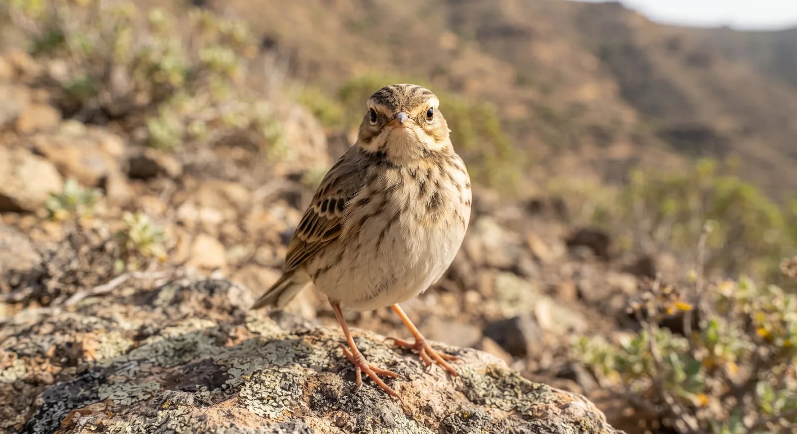
Bisbita caminero
Anthus berthelotii
Búho chico
Asio otus
Canario silvestre
Serinus canaria
Cangrejo moro
Pachygrapsus marmoratus
Cigarra de mar
Scyllarides latus
Dentón
Dentex dentex
Doncella
Hamearis lucina
Dragón azul
Glaucus atlanticus
Ermitaño mediterráneo
Clibanarius erythropus
Flora and ecosystems
Ecosystems found in Spain, where Caldera de Taburiente lies.
Experiences in this park
Nearby dive sites
Where can I dive near here?
El Hierro / La Restinga
120 km away
Similar parks
Which other parks are like this one?
Picos de Europa
Spain
Cantabrian brown bear · bearded vulture
Todo el año
View parkMismo país: Spain
Garajonay
Spain
Bolle's pigeon and laurel pigeon (both endemic to the Canaries)
Todo el año
View parkMismo país: Spain
Keep exploring
Based on what we already know about Caldera de Taburiente.
Your rating
How many stars would you give Caldera de Taburiente?
Comments
Share your experience visiting Caldera de Taburiente, or a tip for other travellers.
Be the first to comment.