National Park
Henri Pittier
Venezuela
 Venezuela
More than 580 bird species recorded (a record per unit area in the western hemisphere)
See parkA coast of bays, islands and reefs in north-eastern Venezuela, between the Caribbean and the coastal range.
Area
949 km²
Designated in
1973
Region
Andes and the North
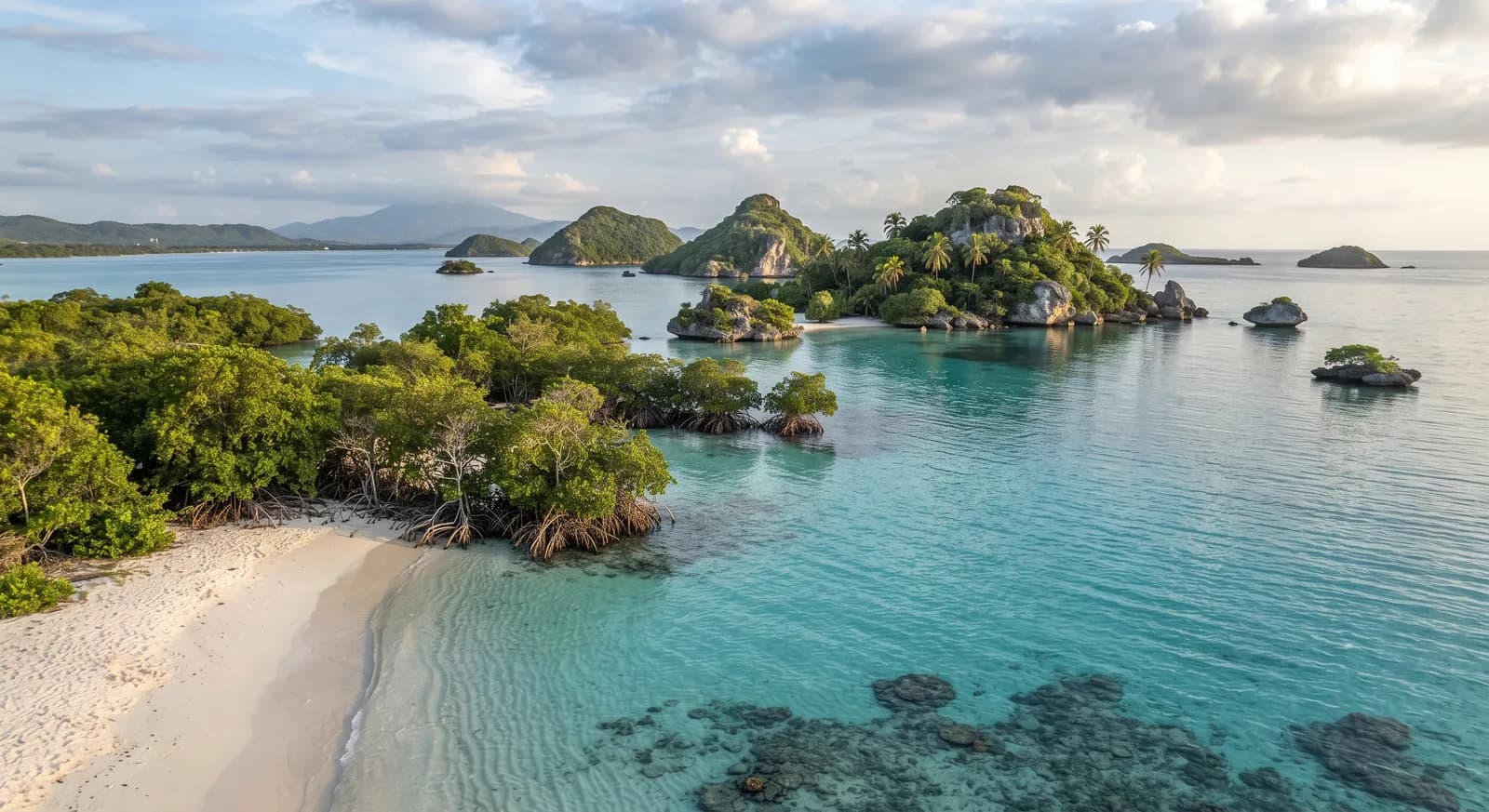
A coast of deep bays and islands in the eastern Caribbean
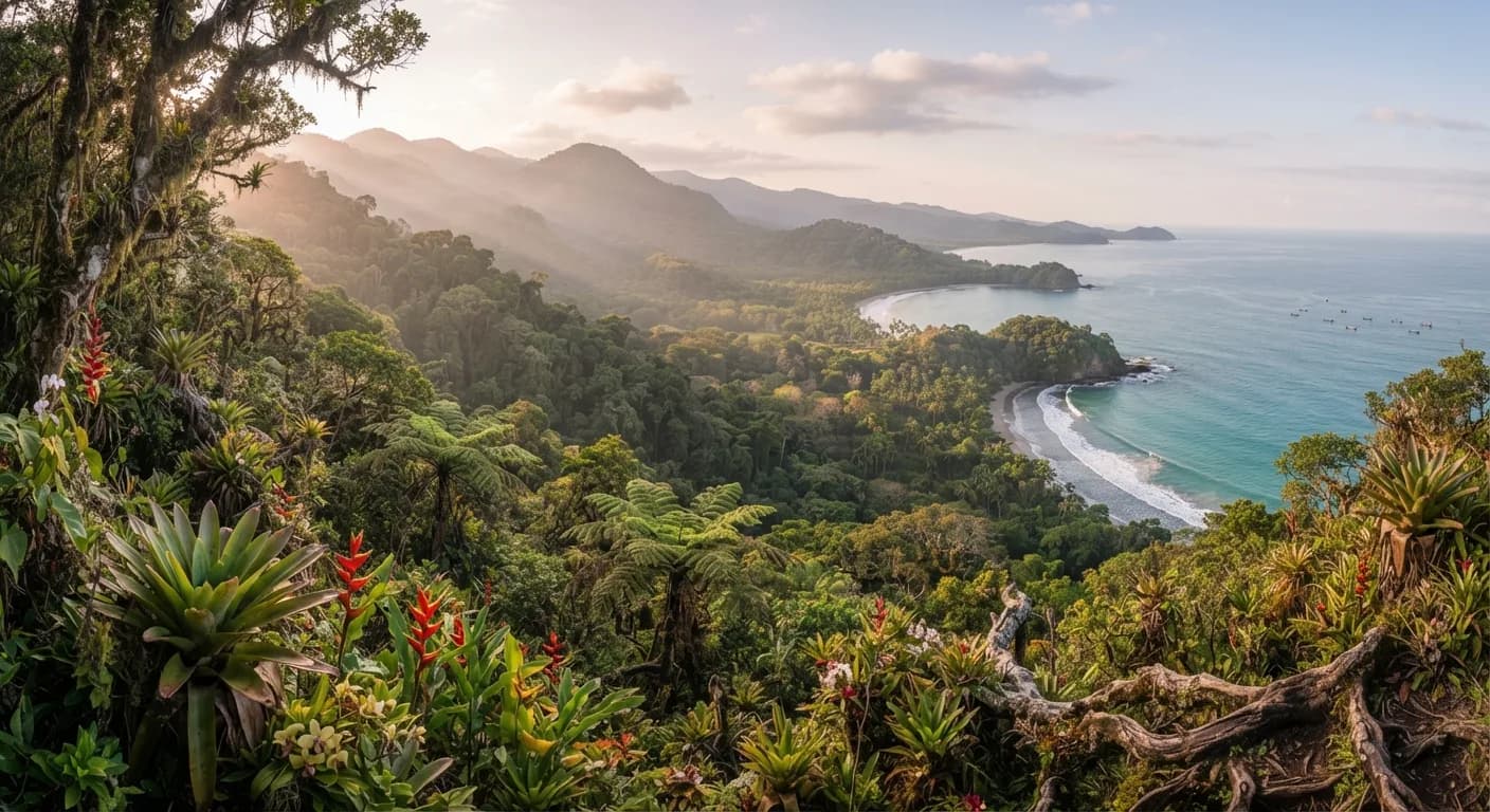
Mochima National Park was established in 1973 in north-eastern Venezuela, between the states of Anzoátegui and Sucre, and protects some 949 km² combining a stretch of Caribbean coast with the foothills of the Coastal Range.
It is a landscape of contrasts: the mountains fall directly to the sea forming deep, narrow bays of an almost fjord-like appearance, and off them is scattered an archipelago of arid islands and islets surrounded by clear water. The land vegetation is xerophytic scrub and dry forest on the coast, with cloud forest at the higher altitudes of the range.
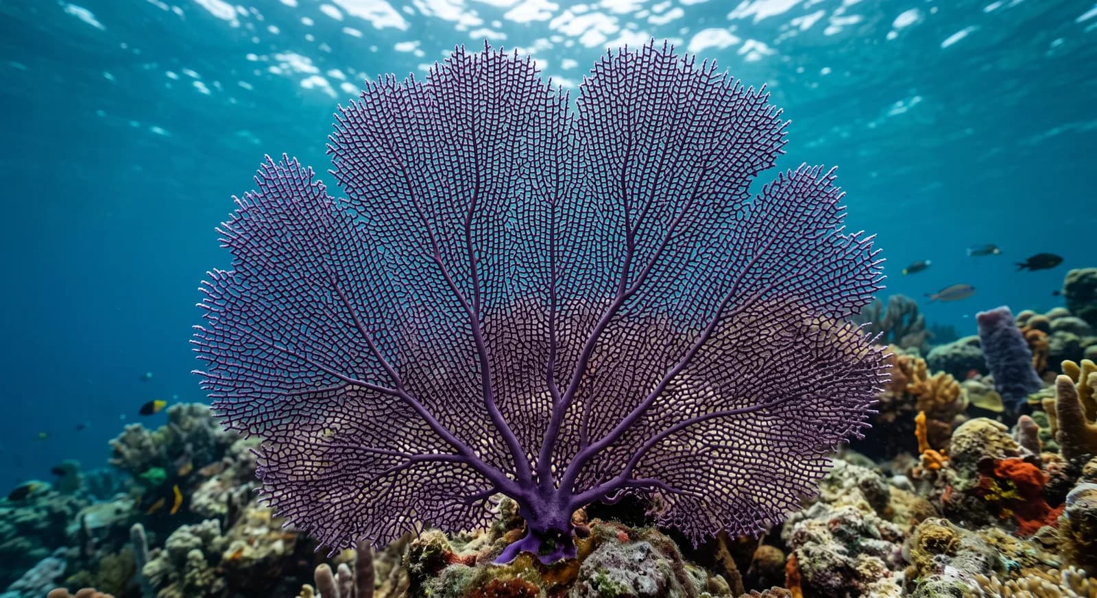
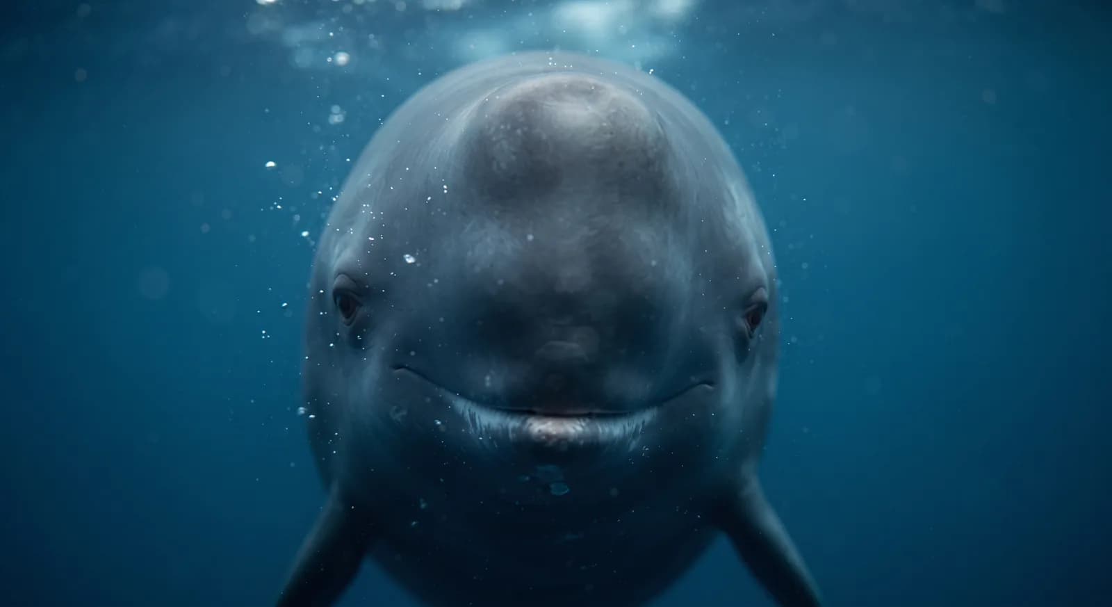
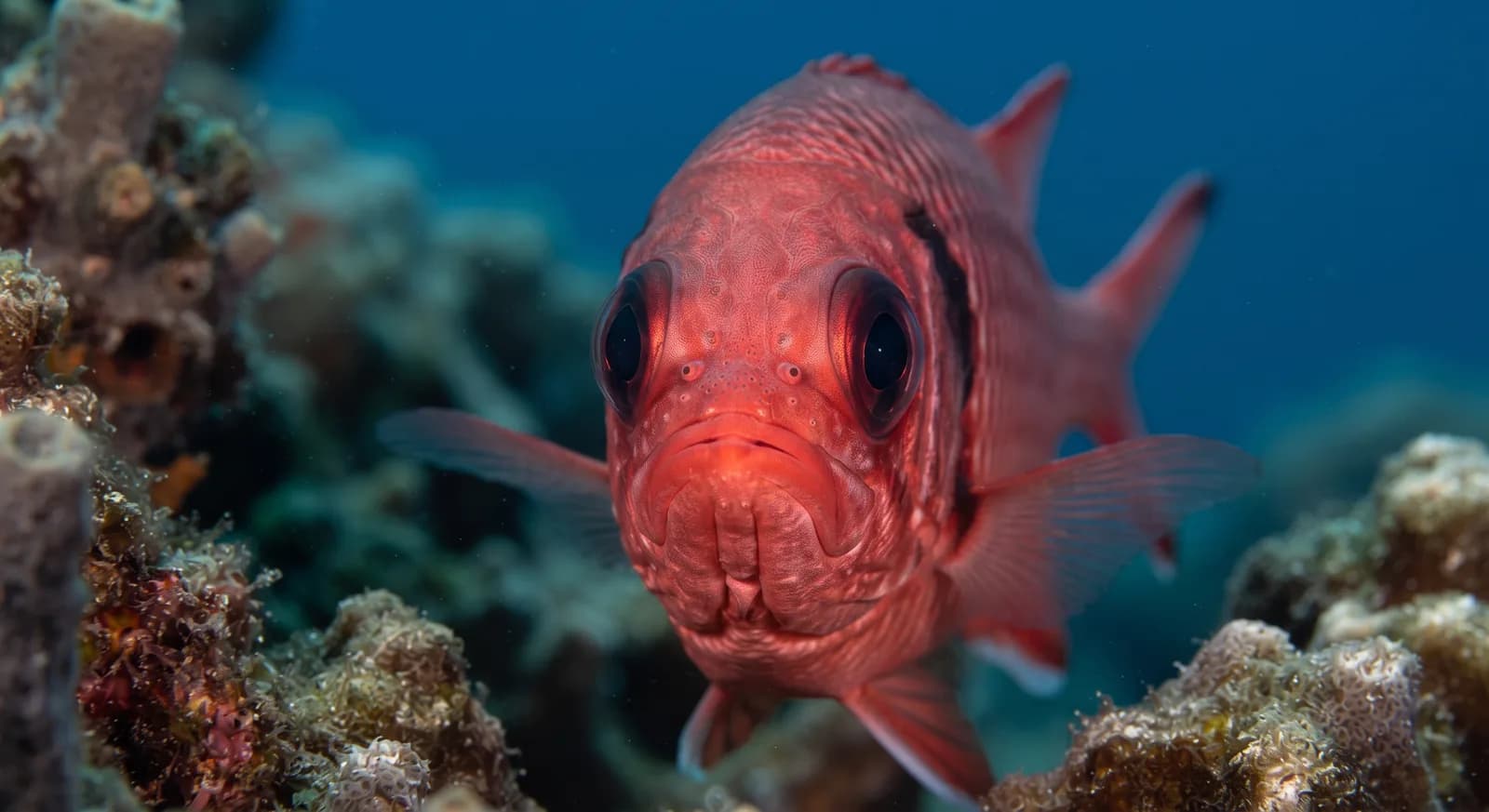
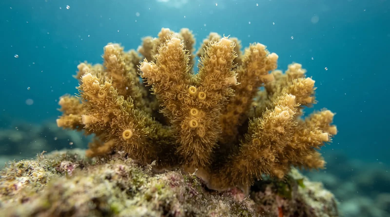
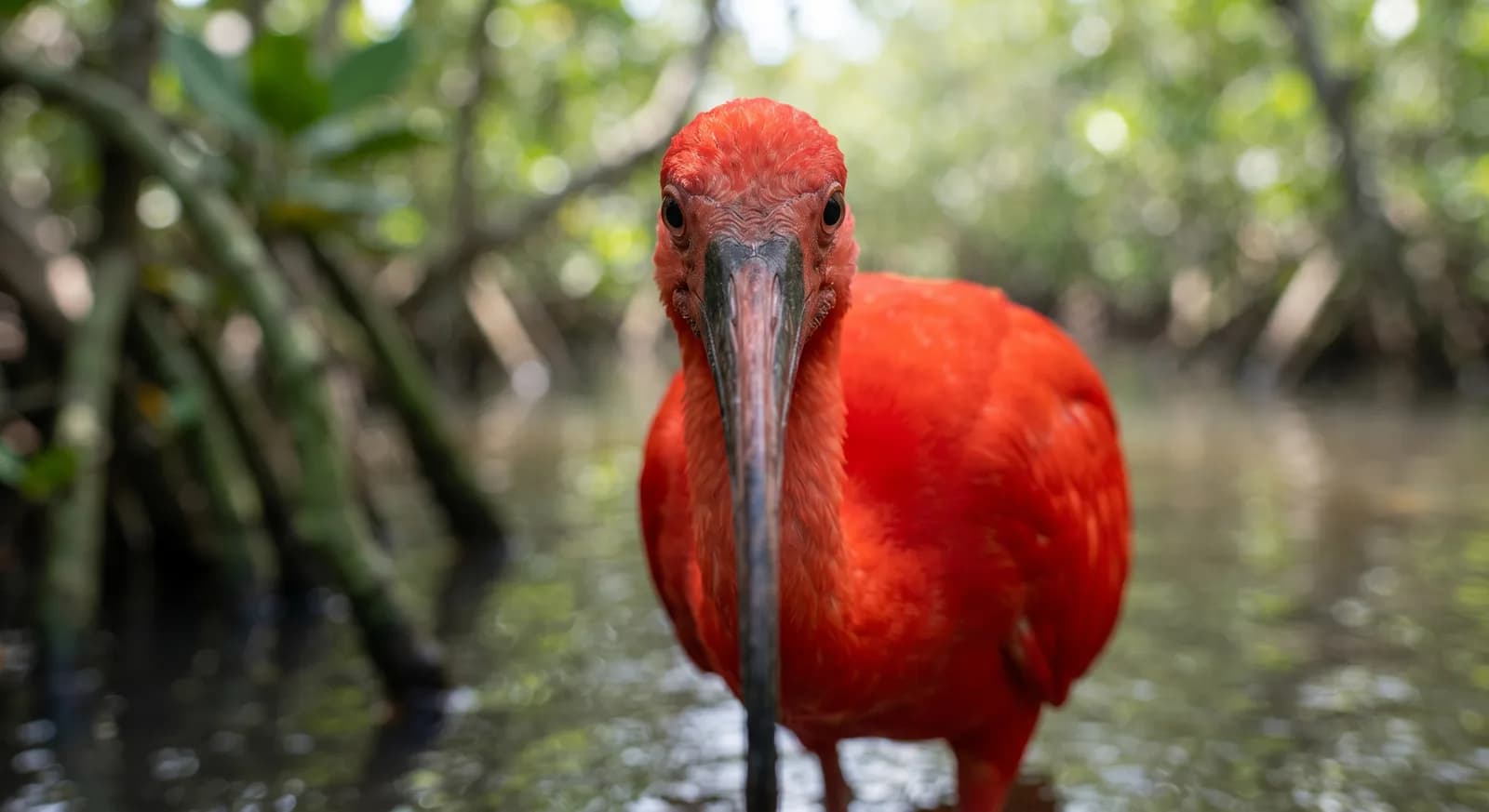
The seabeds preserve coral reefs, seagrass meadows and rocky-bottom communities, and the waters are a passage area for dolphins and a feeding ground for marine turtles. The islands hold seabird colonies, with pelicans, boobies and frigatebirds. The park is one of the most popular tourist destinations in Venezuela, and the pressure of visitor numbers, unregulated fishing and the discharge of wastewater from the coastal towns are its main conservation problems.
2 dive sites within 300 km are also shown.
Ecosystems found in Venezuela, where Mochima lies.
Where can I dive near here?
289 km away
289 km away
Which other parks are like this one?
Same country: Venezuela
Same country: Venezuela
Same country: Venezuela
Same country: Venezuela
Based on what we already know about this park.
Share your experience visiting Mochima, or a tip for other travellers.
Be the first to comment.
Climate
Tropical, Mountain
Threatened:,,,,,