 Least Concern
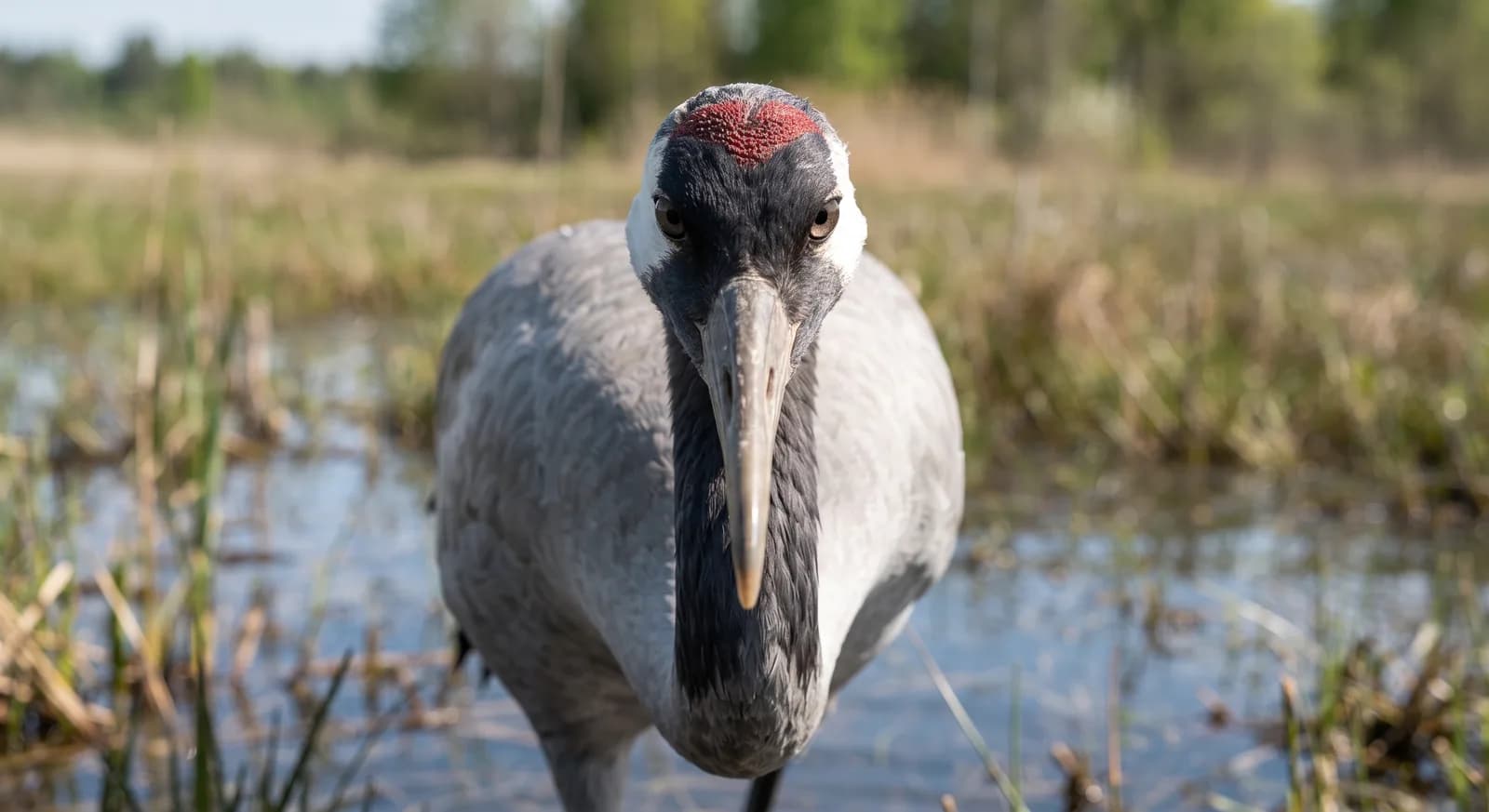
Common Crane
Grus grus
A volcanic landscape formed by the eruptions of 1730-1736 that buried several villages, and which still holds residual heat a few metres down
Area
51 km²
Protection category
IUCN II
Parque nacional —
Designated in
1974
Declared in 1974, it protects the landscape left by one of the greatest volcanic eruptions documented in Europe, between 1730 and 1736, which buried several villages of Lanzarote under lava and ash through six almost continuous years of activity. The residual heat from that eruption is still so intense that a few metres down the temperature passes 100°C, which the park uses for visitor demonstrations such as pouring water into a tube in the ground and watching it come straight back out as a geyser of steam.
1 dive site within 300 km is also shown.
Ecosystems found in Spain, where Timanfaya lies.
Where can I dive near here?
17 km away
What is worth looking out for this month in Spain?
Now is a good time: Common crane wintering at Gallocanta Lagoon (October to March (passage peaks in November and February))
Now is a good time: Soaring bird migration across the Strait of Gibraltar (Spring passage February to May and autumn passage July to November)
Now is a good time: Soaring bird migration across the Strait of Gibraltar (Spring passage February to May and autumn passage July to November)
Which other parks are like this one?
Same country: Spain
Same country: Spain
Same country: Spain
Same country: Spain
Based on what we already know about this park.
Share your experience visiting Timanfaya, or a tip for other travellers.
Be the first to comment.
Region
Iberian Peninsula (Canary Islands)
Climate
Arid / desert, Temperate, Mediterranean, Mountain
Best season
All year round
Threatened:,,,,
Now is a good time: Soaring bird migration across the Strait of Gibraltar (Spring passage February to May and autumn passage July to November)
 Spain