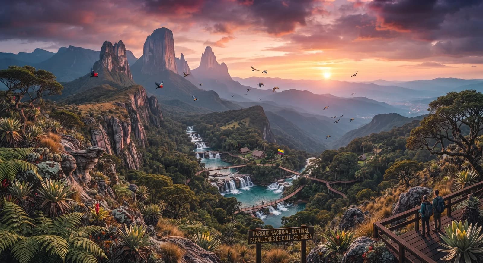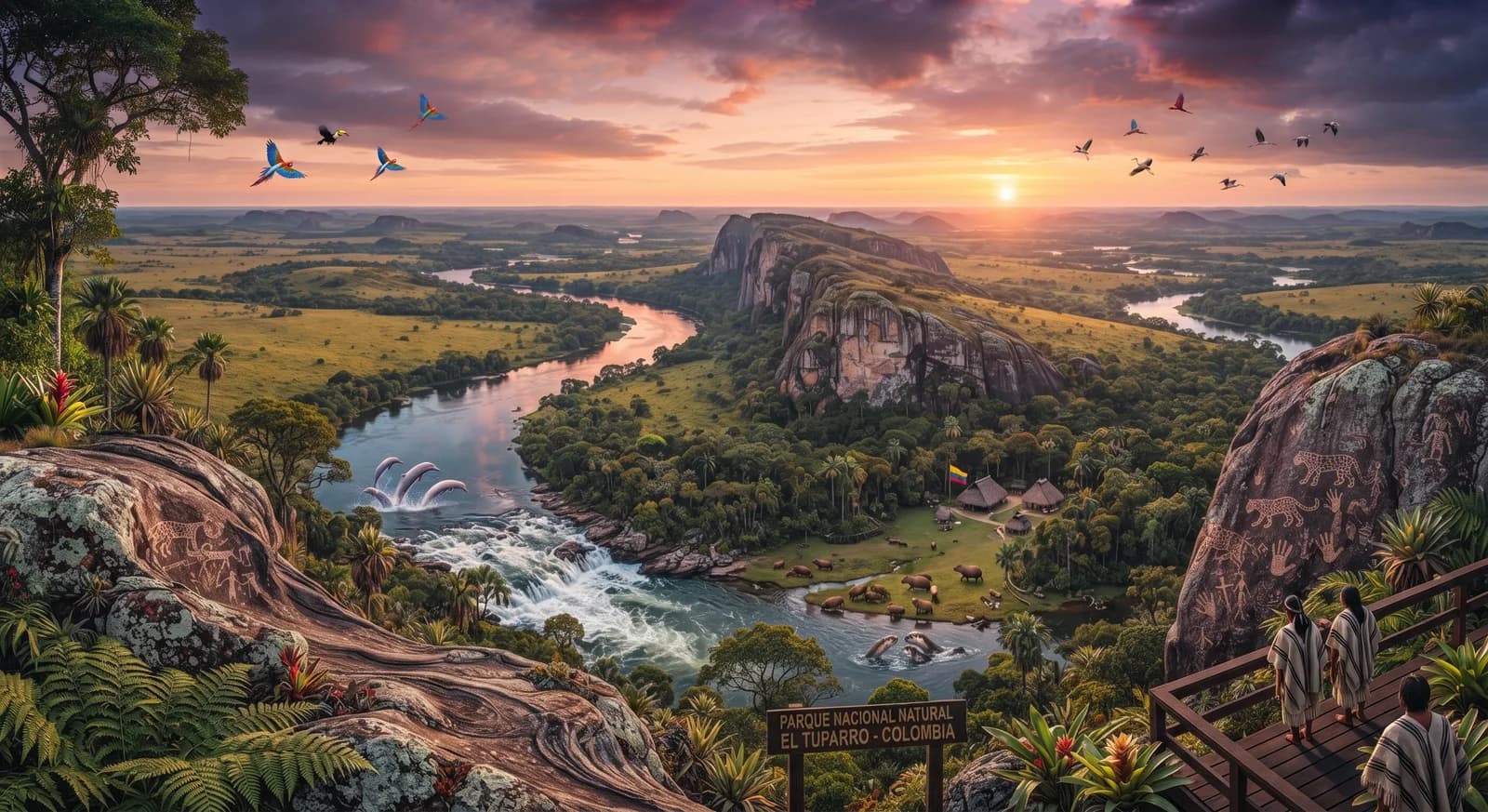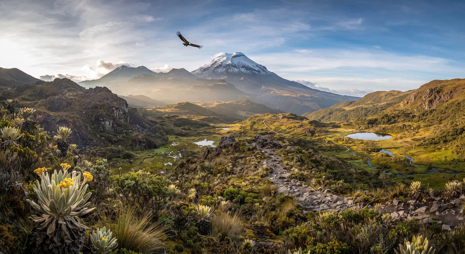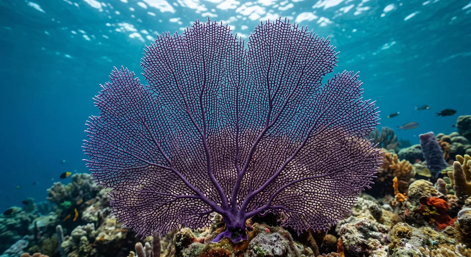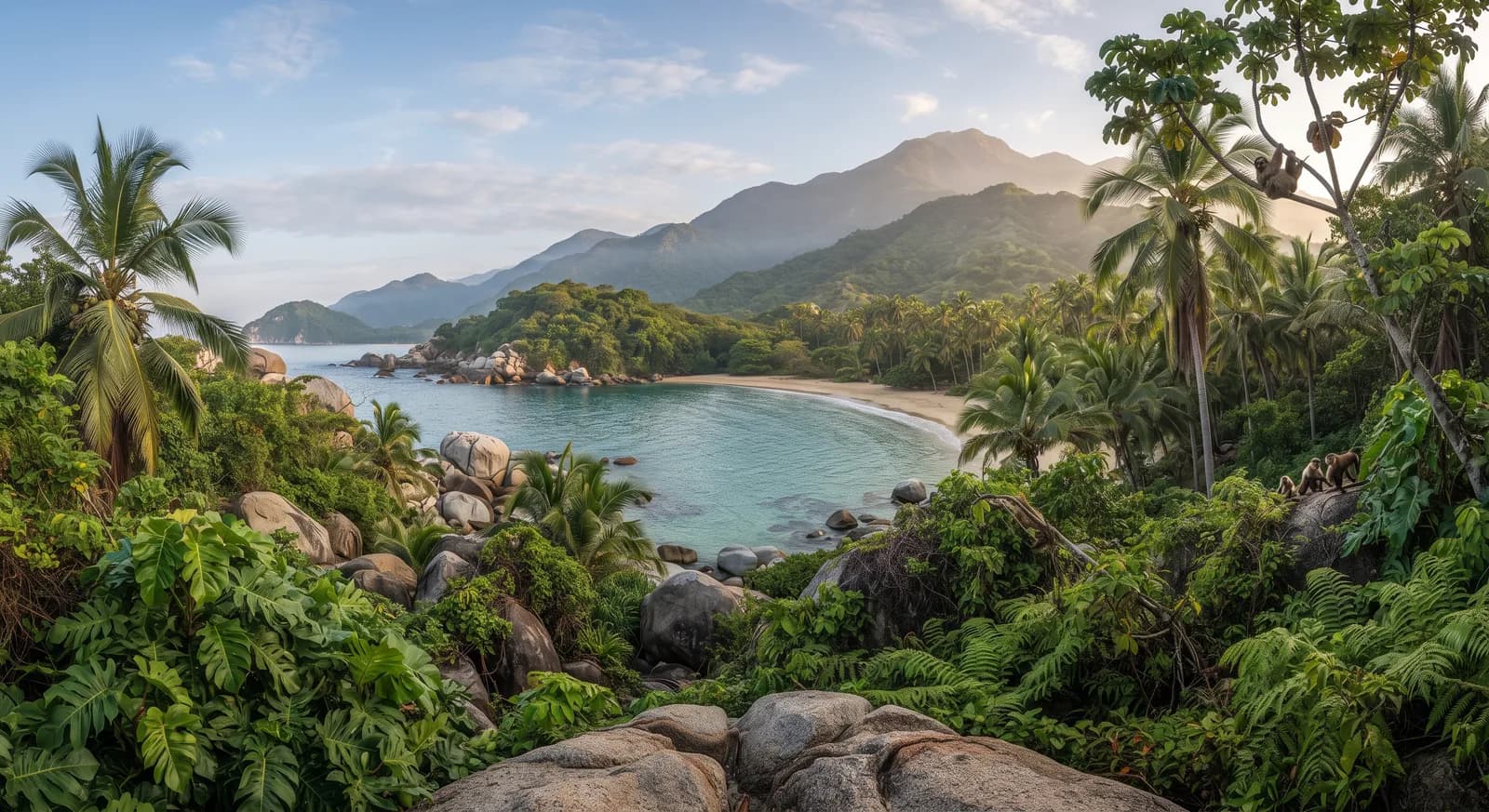
It combines white-sand Caribbean beaches, rainforest and coral reefs in a single territory, with views of the snow-capped Sierra Nevada
Area
150 km²
Protection category
IUCN II
Parque nacional —
Designated in
1969
Declared in 1969, it protects a stretch of Colombian Caribbean coast where the rainforest runs straight down to white-sand beaches and coral reefs, an unusual geographical contrast which on clear days also allows the Caribbean Sea and the snow-capped peaks of the Sierra Nevada de Santa Marta to be seen at once, a short distance apart. The area preserves archaeological remains of the indigenous Tayrona peoples, ancestors of today's Kogui, Wiwa and Arhuaco communities of the neighbouring sierra, who still hold much of this coast sacred.
Location
Loading map…
2 dive sites within 300 km are also shown.
Tayrona: 102 documented species
Mammals24Birds25Reptiles9Amphibians
Flora and ecosystems
Ecosystems found in Colombia, where Tayrona lies.
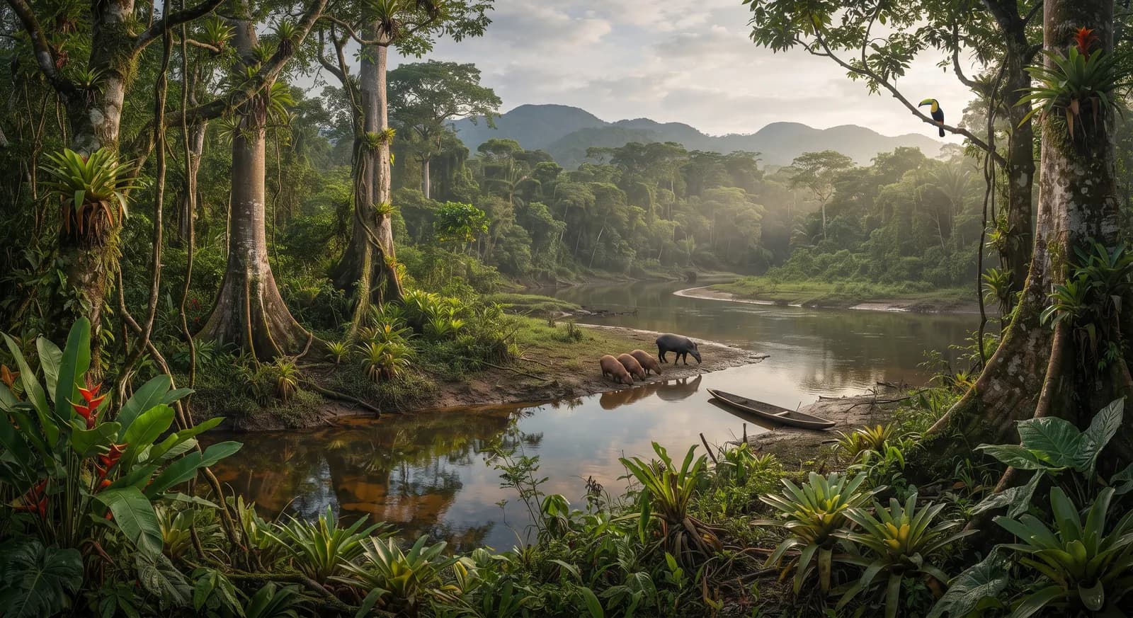
Tropical rainforestSavannahMarine / coastal
Experiences in this park
Diving and snorkellingBirdwatching
Nearby dive sites
Where can I dive near here?
2 km away
223 km away
Wildlife you can see now
What is worth looking out for this month in Colombia?
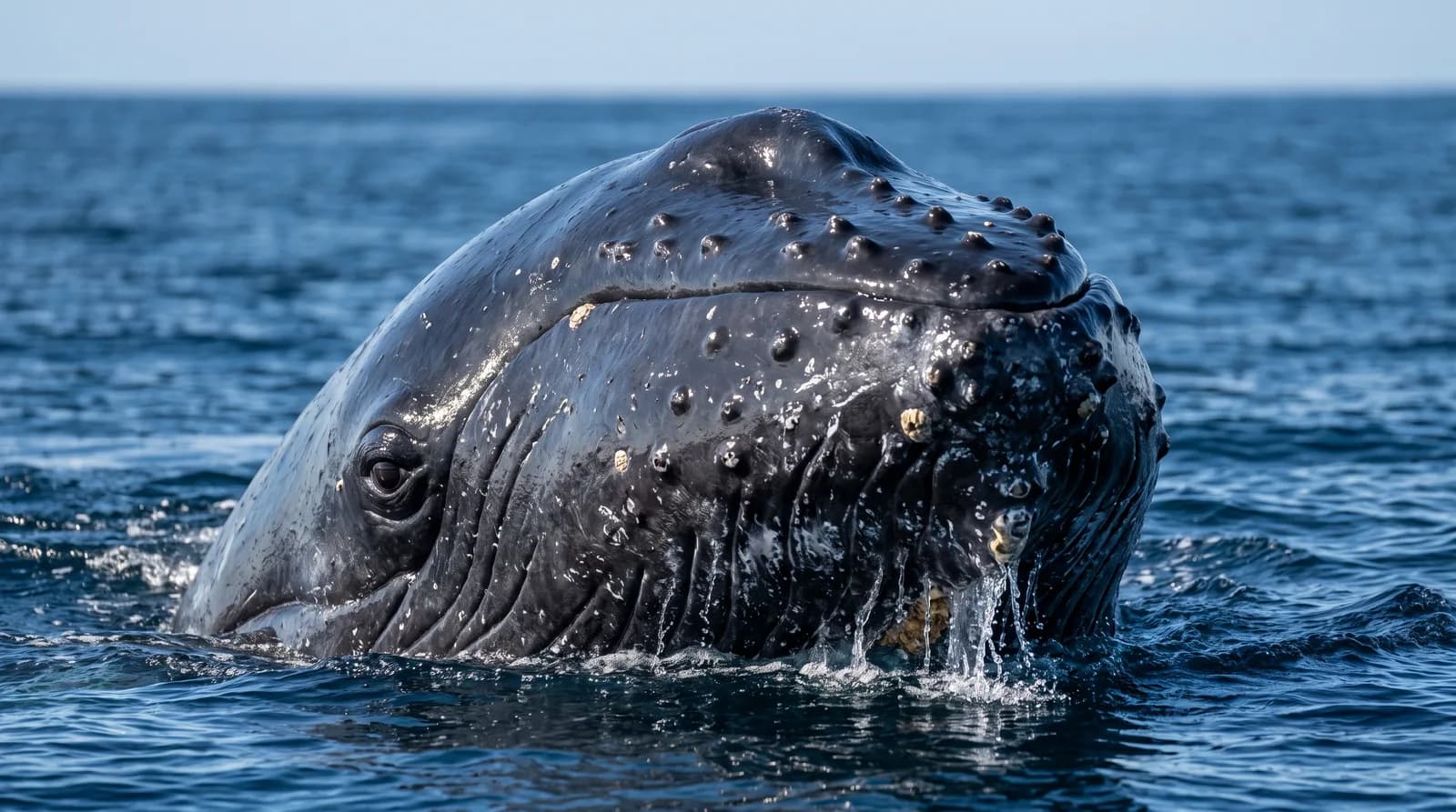
Now is a good time: Humpback whales on the Colombian Pacific coast (July to October (best sea conditions from late July to September))
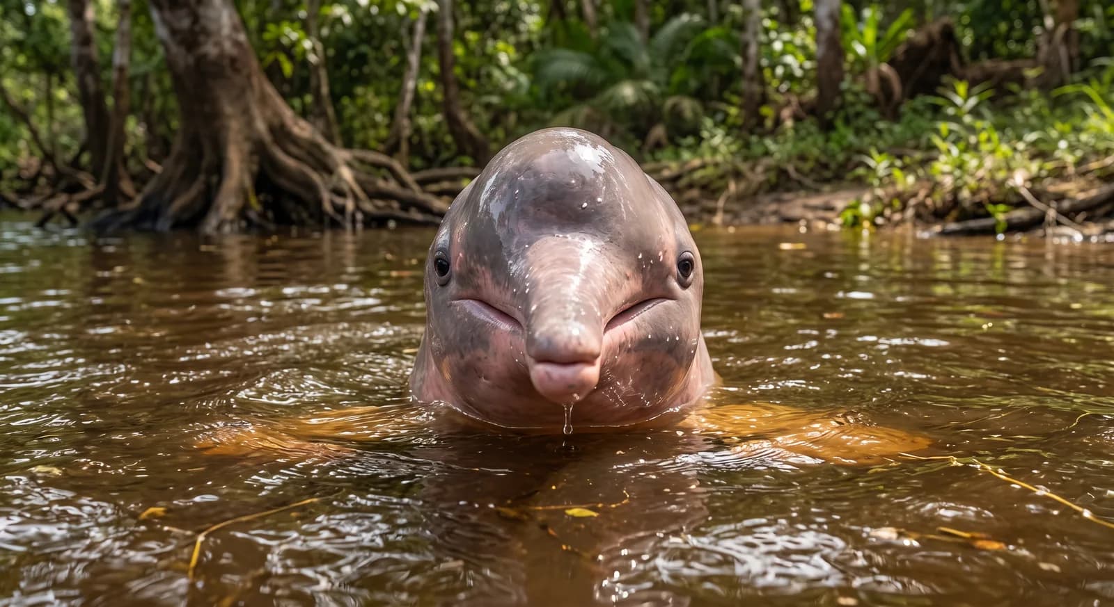
Now is a good time: Best time to see Amazon river dolphins (June to November (low-water season))
Similar parks
Which other parks are like this one?
Same country: Colombia
Same country: Colombia
Same country: Colombia
Same country: Colombia
Keep exploring
Based on what we already know about this park.
 Colombia