 UNESCO
Strict Nature Reserve
Mount Nimba Strict Nature Reserve
Guinea
See parkOne of the last blocks of dry forest and savannah on the upper Niger, at the source of West Africa's most important river.
Area
1,200 km²
Designated in
1997
Region
West Africa
The Mafou dry forest at the headwaters of the Niger
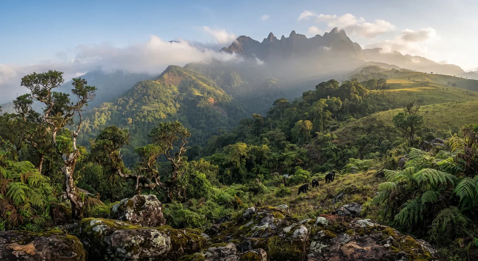
Upper Niger National Park was established in 1997 in central Guinea, in the upper basin of the Niger River, and protects some 1,200 km². Its core is the Mafou classified forest.
It preserves one of the last significant blocks of dry forest and wooded savannah in the upper Niger region, in a territory where shifting cultivation, firewood extraction and fires have transformed most of the plant cover. Its hydrological function is significant: the Fouta Djallon massif and the Guinean highlands are the headwaters of the Niger, the Senegal and the Gambia, the three great rivers of West Africa, and the conservation of this basin governs the flow on which millions of people downstream depend.
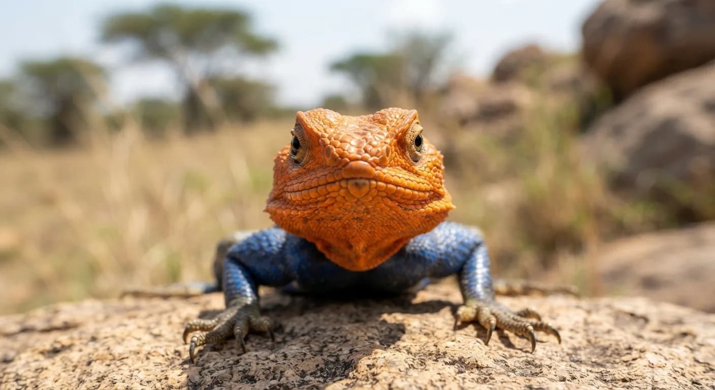
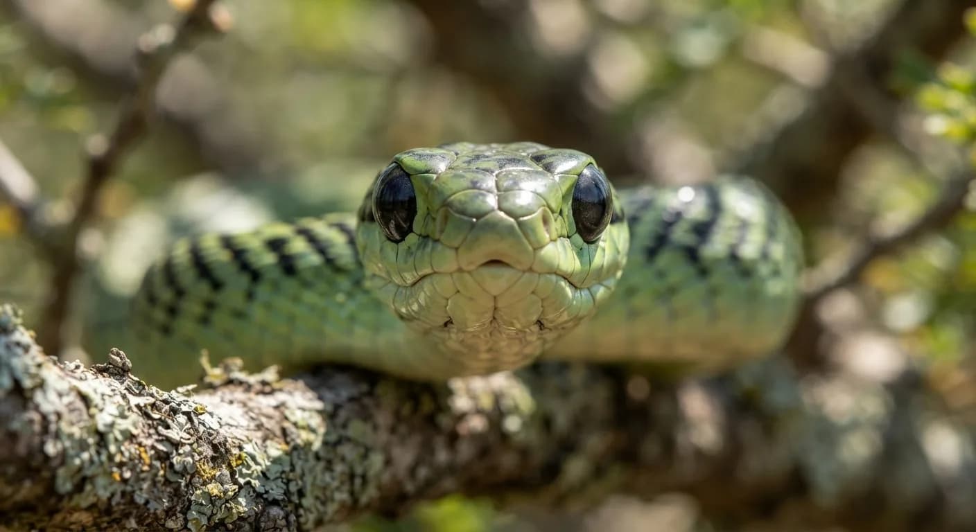
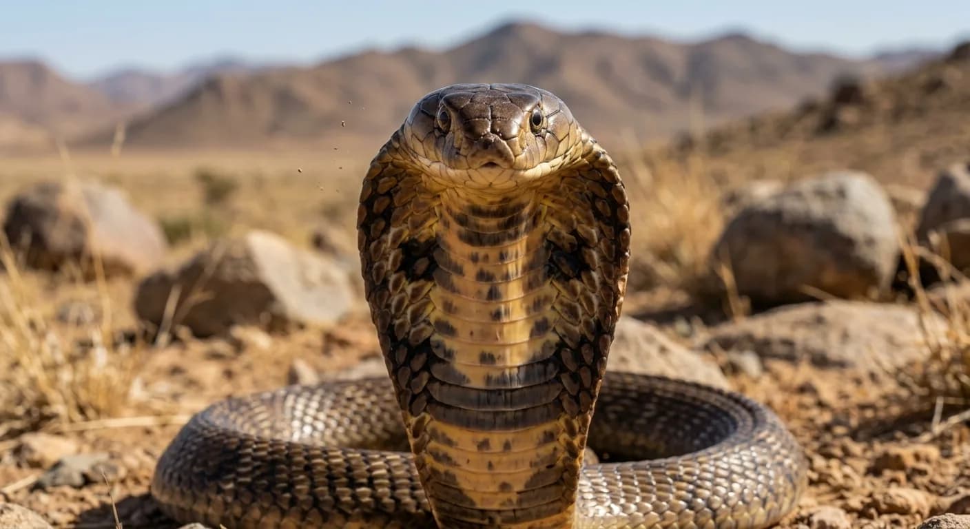
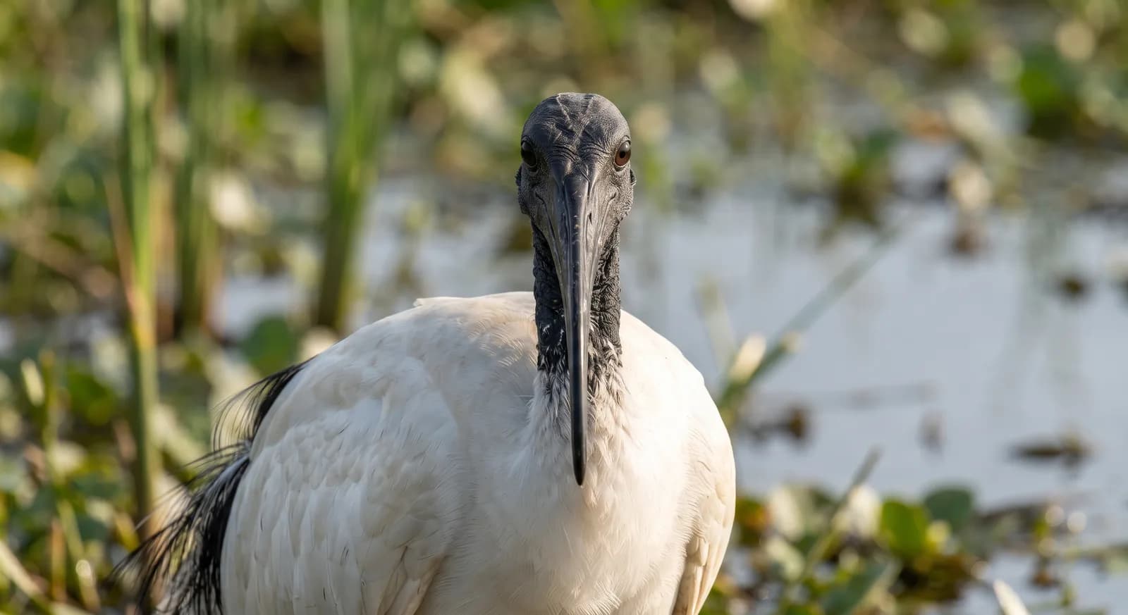
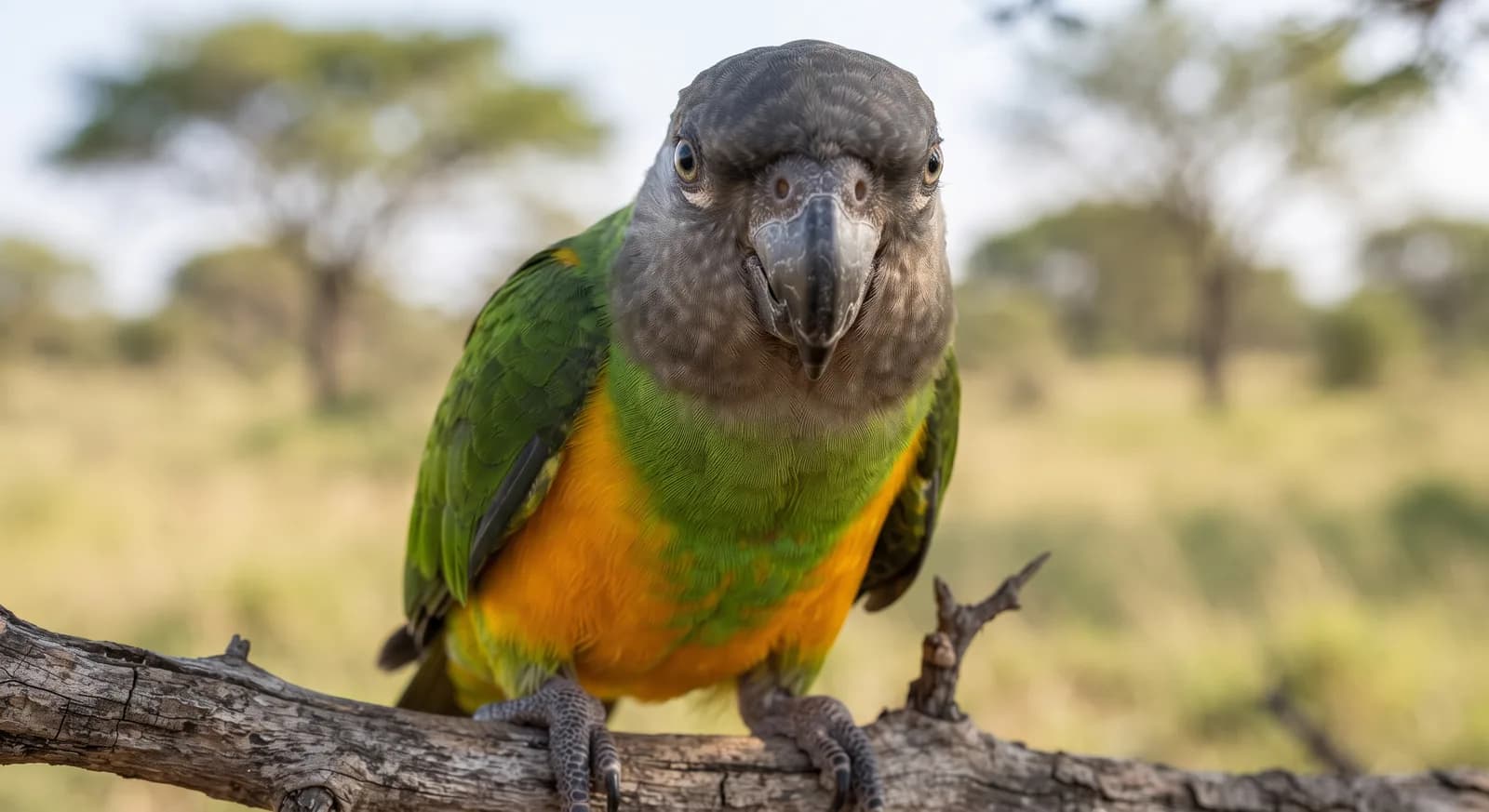
The park is home to a population of western chimpanzee, a critically endangered subspecies whose study in Guinea has produced important observations on tool use, as well as hippopotamus, buffalo, korrigum and a rich savannah birdlife. It is organised into a strict core zone and a use zone where Malinké communities who practise farming and fishing live. Agricultural pressure, artisanal gold mining and hunting are its main threats.
Ecosystems found in Guinea, where Haut Niger lies.
Which other parks are like this one?
Same country: Guinea
Same country: Guinea
Same type of protected area: National Park
Same type of protected area: National Park
Based on what we already know about this park.
Climate
Tropical
Threatened:,,,,
 Guinea
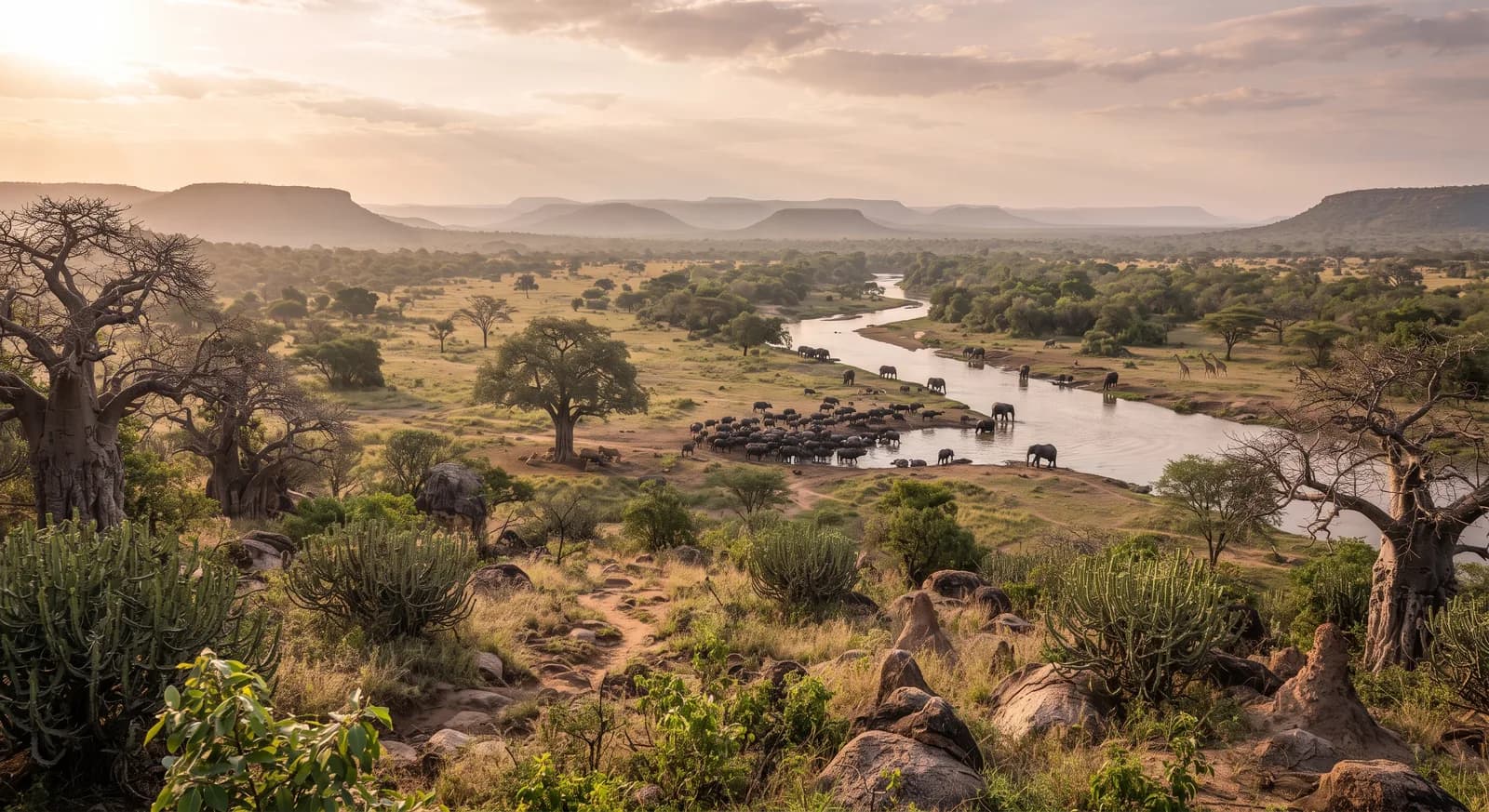
 Tanzania
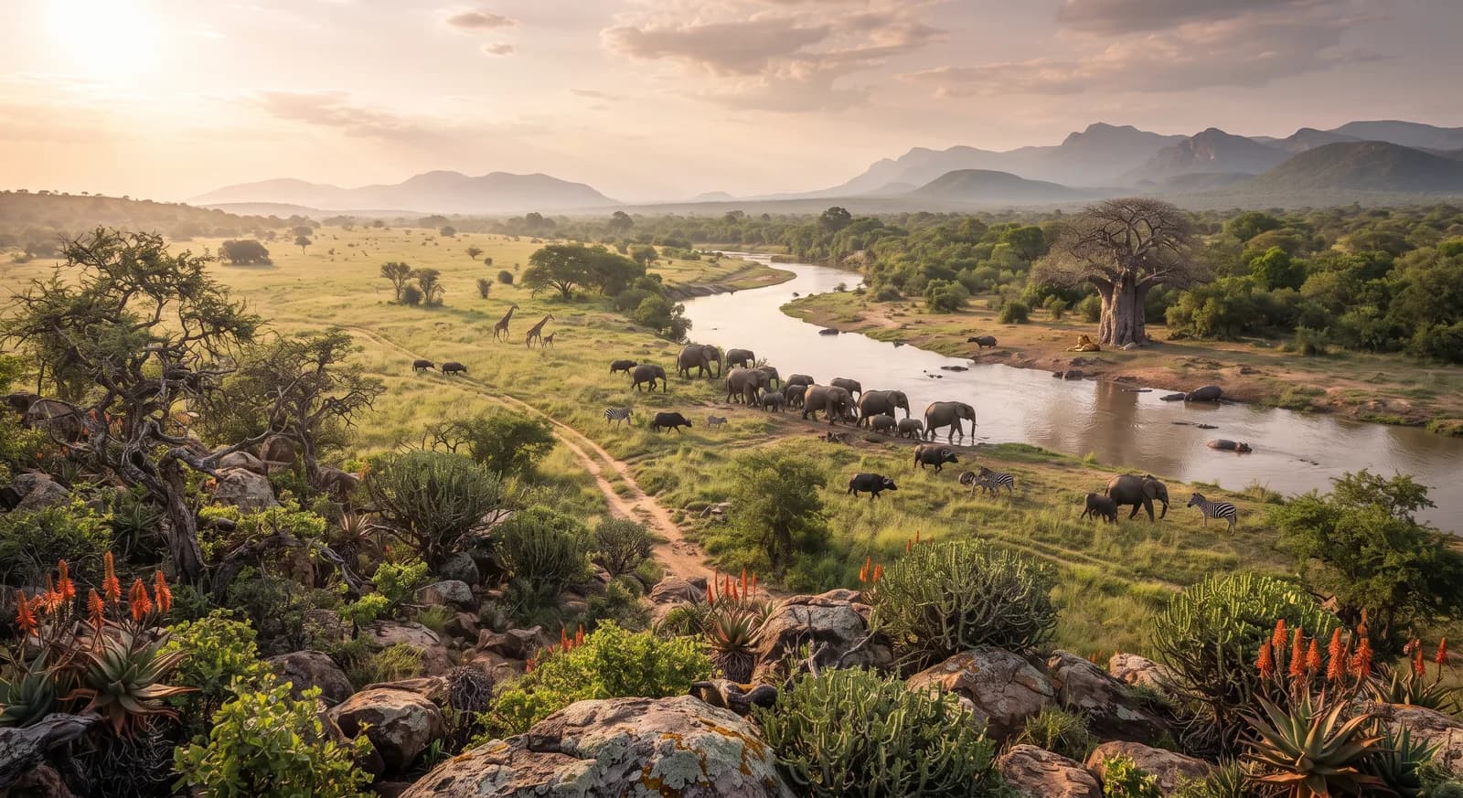
 South Africa