National Park
White Desert
Egypt
 Egypt
Dorcas Gazelle · Fennec Fox
October to April
See parkRed Sea coast and hinterland with mangroves, dugong seagrass beds and the emerald mines of the pharaohs.
Area
7,450 km²
Designated in
2003
Region
North Africa
Red Sea coral coastline and the Sikait emerald mines
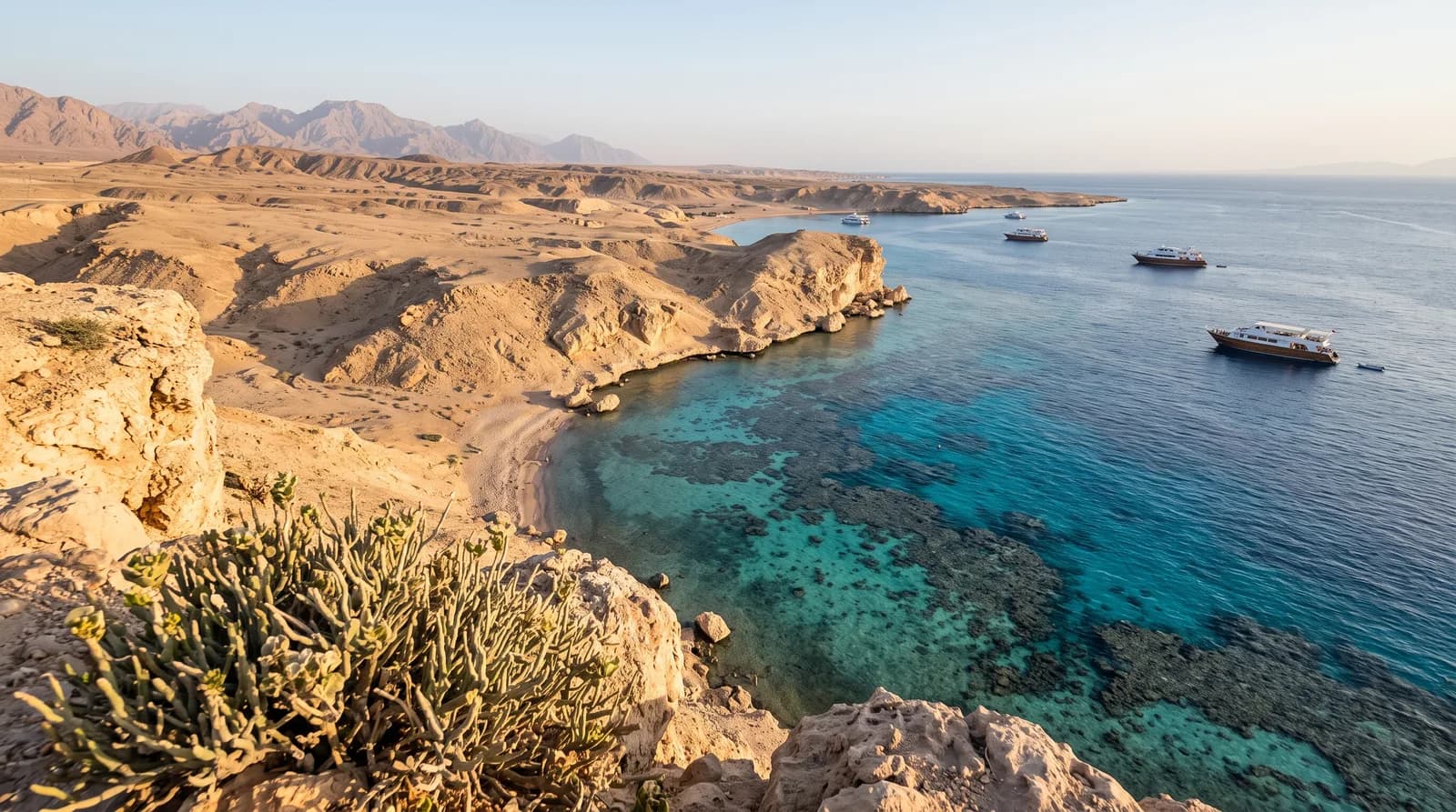
Wadi El Gemal National Park was declared in 2003 on the Red Sea coast, south of Marsa Alam, and protects some 7,450 km² combining a broad sector of mountainous desert inland with a coastal and marine strip that includes coral reefs and islands.
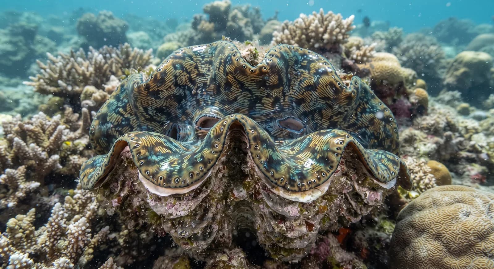
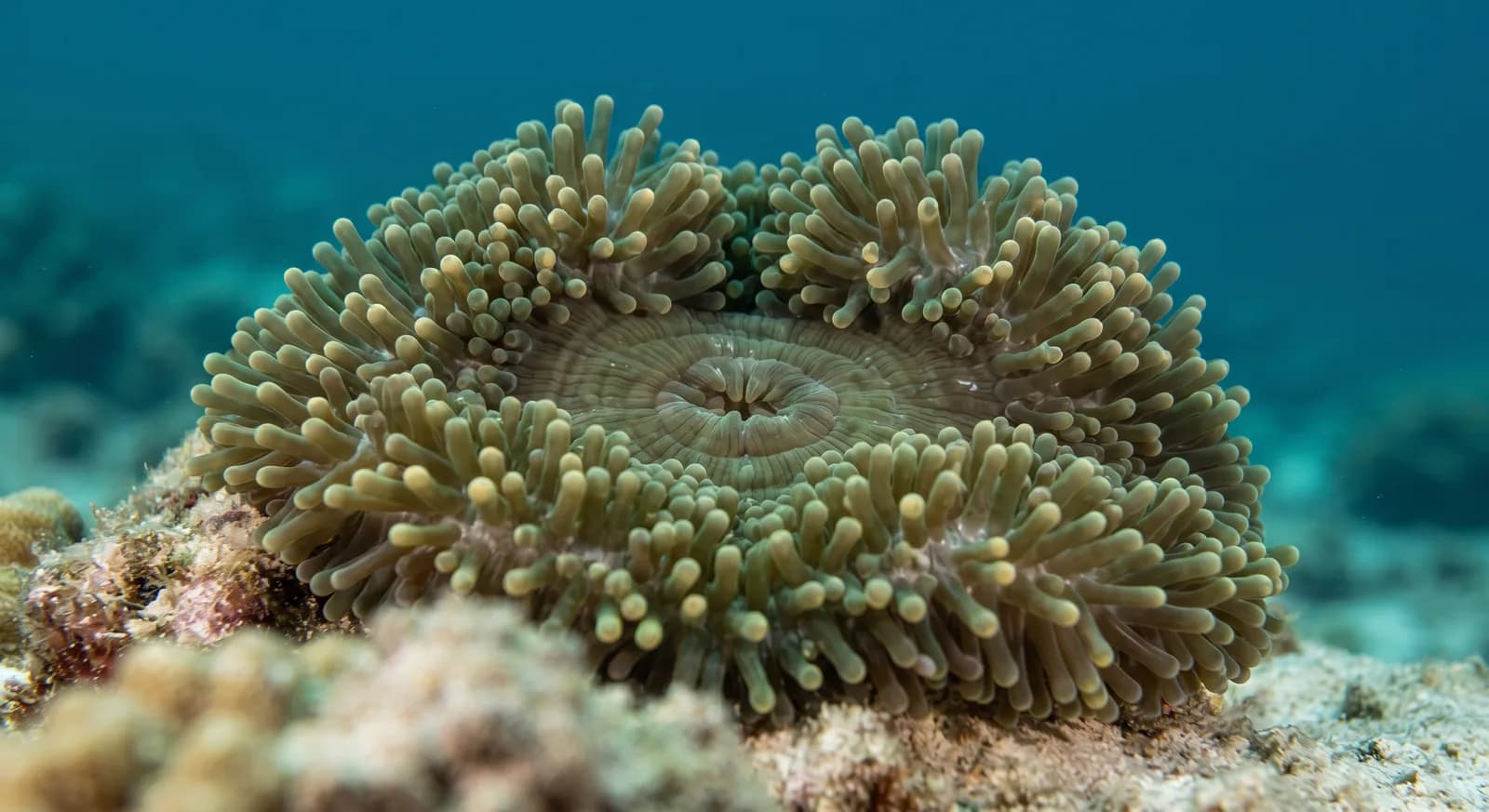
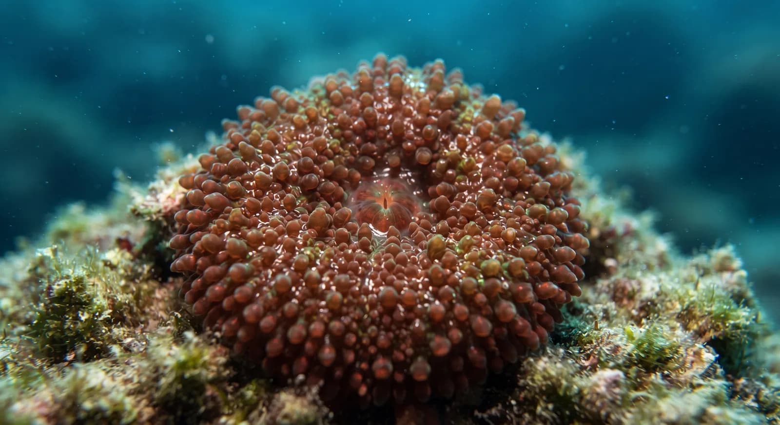
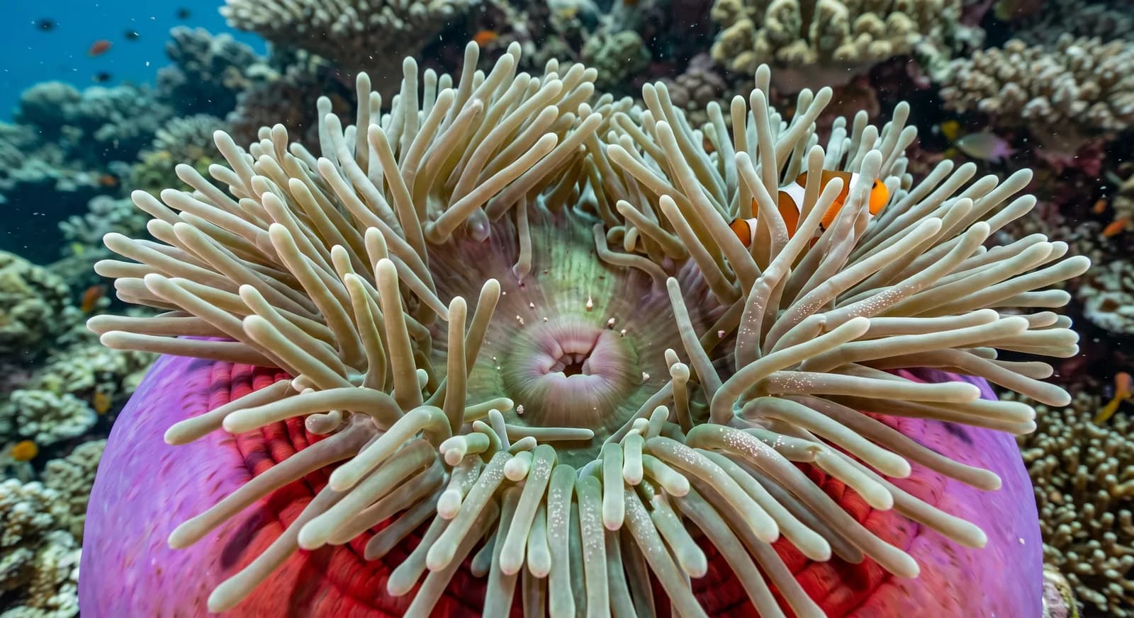
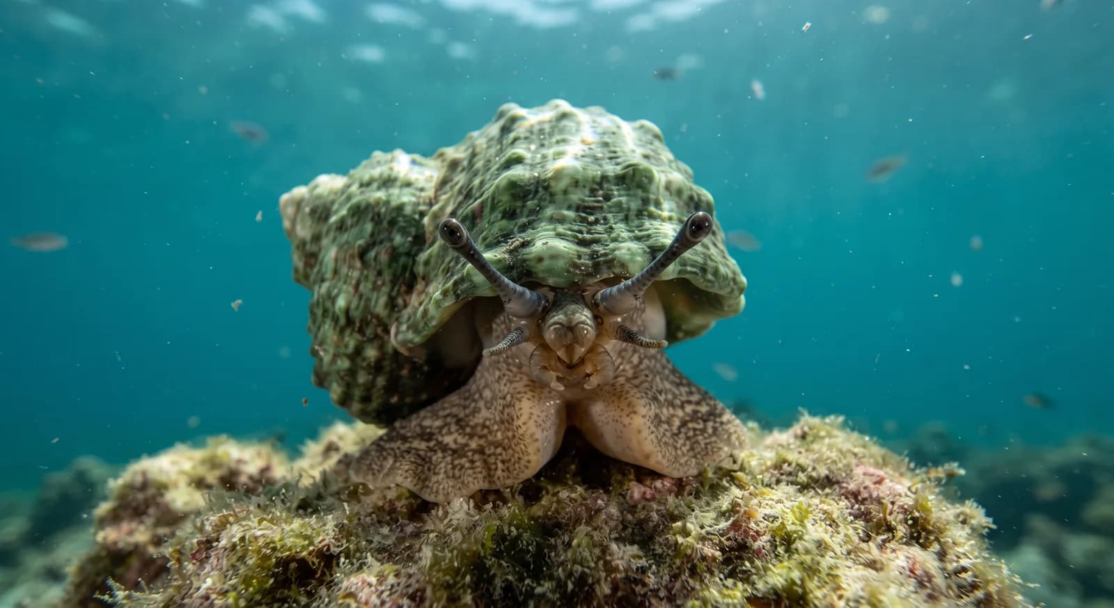
Its name means valley of the camels. The interior is a landscape of dry wadis, igneous rock mountains and gravel plains, with acacias in the watercourses that sustain animal life and the grazing of the Ababda communities who have inhabited the area for centuries. The coast holds mangroves, seagrass meadows and well-preserved fringing reefs, with one of the most notable dugong populations in the Egyptian Red Sea and nesting beaches for green and hawksbill turtles.
The park also preserves a distinctive archaeological heritage: at Wadi Sikait and its surroundings are the emerald mines of Mons Smaragdus, worked from Ptolemaic and Roman times and practically the only source of emeralds in the ancient Mediterranean world. Galleries, mining settlements, rock-cut temples and inscriptions survive. The pressure of tourist development at Marsa Alam and anchoring on the reefs are its main threats.
4 dive sites within 300 km are also shown.
Ecosystems found in Egypt, where Wadi El Gemal lies.
Where can I dive near here?
6 km away
11 km away
13 km away
15 km away
Which other parks are like this one?
Same country: Egypt
Same country: Egypt
Same country: Egypt
Same country: Egypt
Based on what we already know about this park.
Share your experience visiting Wadi El Gemal, or a tip for other travellers.
Be the first to comment.
Climate
Arid / desert, Mediterranean
Best season
October to April
Threatened:,,,,,,,,